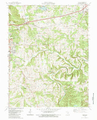
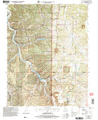
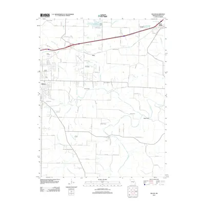
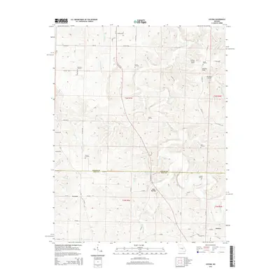
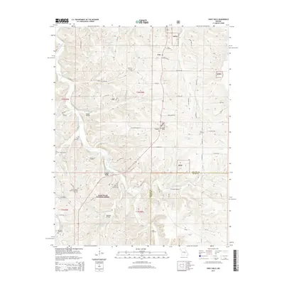
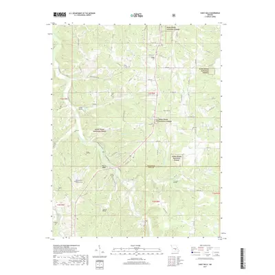
1951 Map of Yancy Mills
USGS Topo · Published 1951About this map
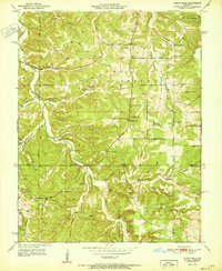
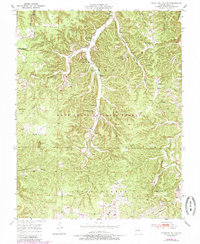
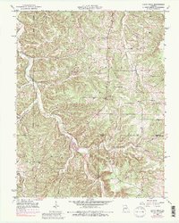
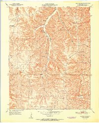
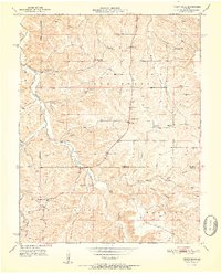
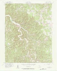
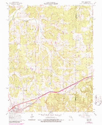
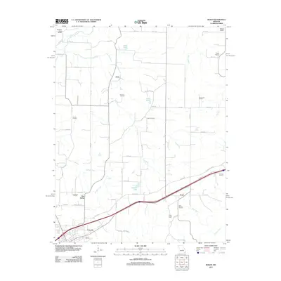
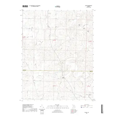
Little Piney Creek winds through this Ozark landscape, providing the lifeblood for mid-century rural Missouri settlements and homesteads. The 1951 edition highlights the established community at Yancy Mills, featuring its post office and the namesake Yancy Sch. This area is marked by a complex network of hollows and ridges, such as Carmack Hollow and Pilot Knob, which dictate the placement of local infrastructure like the Pilot Knob Ch.
Find a feature on this map
43 named features on this map. Tap any name to fly to it.
Don’t see what you’re looking for? This feature index may not catch every label — zoom into the map to look around manually.
Map Details
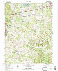
Editions of this 1951 Yancy Mills Map
2 editions found
Historical Maps of Yancy Mills Through Time
53 maps found
1928 Meramec Spring
Phelps County, MO

1934 Redbird
Phelps County, MO
1938 Redbird
Phelps County, MO
1949 Meramec Spring
Phelps County, MO
1950 Kaintuck Hollow
Phelps County, MO
1950 Yancy Mills
Phelps County, MO
1951 Kaintuck Hollow
Phelps County, MO
1951 Yancy Mills
Phelps County, MO
1954 Flat
Phelps County, MO
1963 Dillon
Phelps County, MO
1963 Lecoma
Phelps County, MO
1963 Maramec Spring
Phelps County, MO
1963 Rosati
Phelps County, MO
1963 Seaton
Phelps County, MO
1980 Dillon
Phelps County, MO
1980 Maramec Spring
Phelps County, MO
1985 Dillon
Phelps County, MO
1992 Dillon
Phelps County, MO
1992 Lecoma
Phelps County, MO
2004 Kaintuck Hollow
Phelps County, MO
2004 Yancy Mills
Phelps County, MO
2011 Kaintuck Hollow
Phelps County, MO
2011 Seaton
Phelps County, MO
2011 Yancy Mills
Phelps County, MO
2012 Dillon
Phelps County, MO
2012 Flat
Phelps County, MO
2012 Lecoma
Phelps County, MO
2012 Maramec Spring
Phelps County, MO
2012 Rosati
Phelps County, MO
2015 Dillon
Phelps County, MO
2015 Flat
Phelps County, MO
2015 Kaintuck Hollow
Phelps County, MO
2015 Lecoma
Phelps County, MO
2015 Maramec Spring
Phelps County, MO
2015 Rosati
Phelps County, MO
2015 Seaton
Phelps County, MO
2015 Yancy Mills
Phelps County, MO
2017 Dillon
Phelps County, MO
2017 Flat
Phelps County, MO
2017 Kaintuck Hollow
Phelps County, MO
2017 Lecoma
Phelps County, MO
2017 Maramec Spring
Phelps County, MO
2017 Rosati
Phelps County, MO
2017 Seaton
Phelps County, MO
2017 Yancy Mills
Phelps County, MO
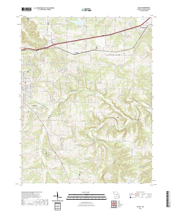
2021 Dillon
Phelps County, MO

2021 Flat
Phelps County, MO
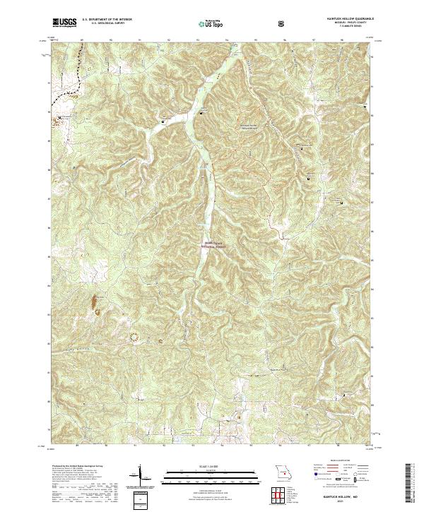
2021 Kaintuck Hollow
Phelps County, MO
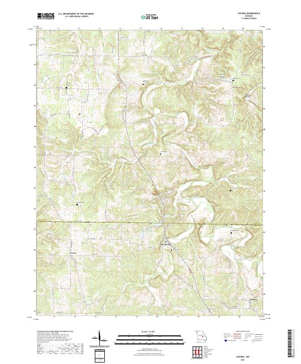
2021 Lecoma
Phelps County, MO
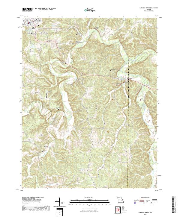
2021 Maramec Spring
Phelps County, MO
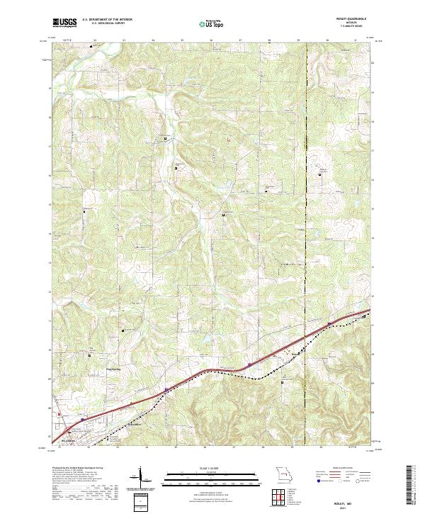
2021 Rosati
Phelps County, MO
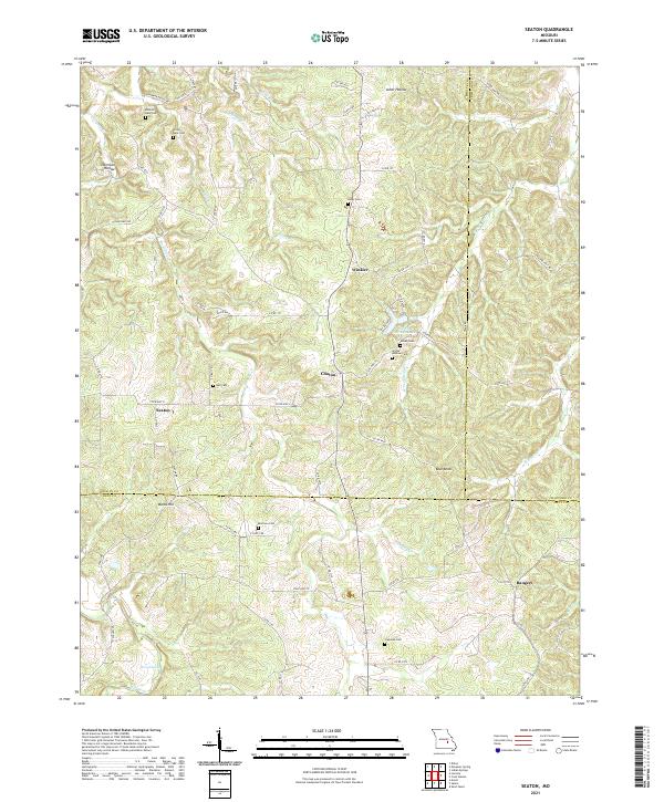
2021 Seaton
Phelps County, MO
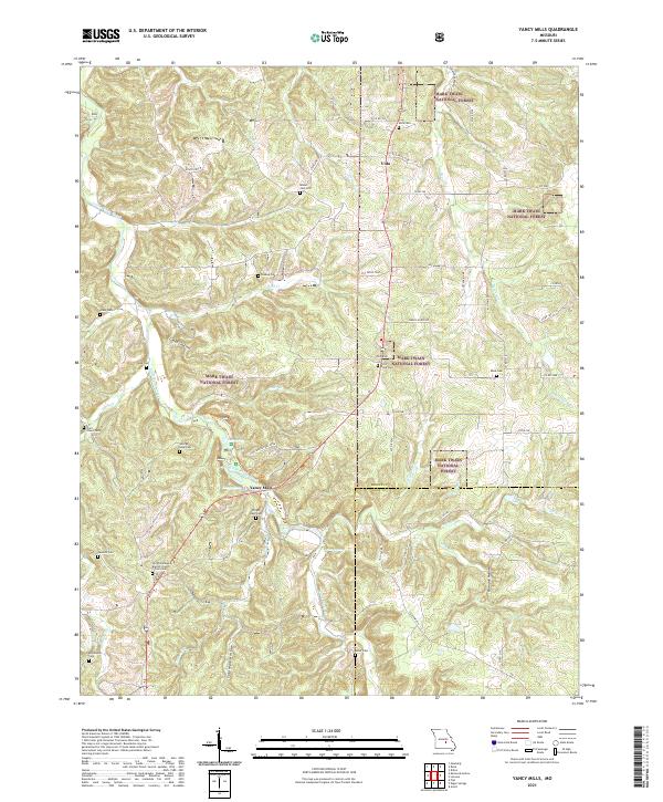
2021 Yancy Mills
Phelps County, MO