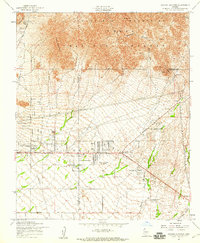
1956 Map of Apache Junction
USGS Topo · Published 1959About this map
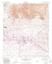
The Goldfield Mountains and the northern edge of the Sonoran Desert meet in this mid-century topographical study of the area surrounding Apache Junction. The landscape is dominated by the transition from steep peaks like Pass Mountain and Dome Mtn in the Tonto National Forest down to the arid flats marked by the Gila and Salt River Base Line. This era shows early settlement patterns along the historic Apache Trail, where a scattering of water tanks and towers supported the growing community. Resource extraction and recreation are evident through the presence of the Bulldog Mine tucked into Bulldog Canyon and the Mesa Gun Club situated near Usery Pass. Local education and social hubs of the 1950s are preserved through the location of the Superstition Mtn School and small residential clusters at Palm Springs and Larkspur Ranch.
Find a feature on this map
25 named features on this map. Tap any name to fly to it.
Don’t see what you’re looking for? This feature index may not catch every label — zoom into the map to look around manually.
Map Details
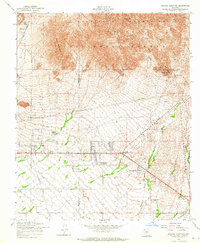
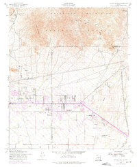
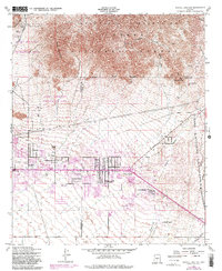
Editions of this 1956 Apache Junction Map
5 editions found
Other maps of this area

1900 · Florence
USGS Topo · 1:125,000

1902 · Florence
USGS Topo · 1:125,000

1904 · Desert Well
USGS Topo · 1:62,500

1904 · Ft. McDowell
USGS Topo · 1:62,500

1906 · Ft. McDowell
USGS Topo · 1:62,500

1906 · Desert Well
USGS Topo · 1:62,500

1907 · Roosevelt
USGS Topo · 1:125,000

1909 · Four Peaks
USGS Topo · 1:125,000

1912 · Roosevelt
USGS Topo · 1:125,000

1930 · Cave Creek
USGS Topo · 1:125,000