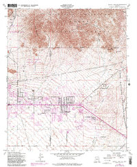
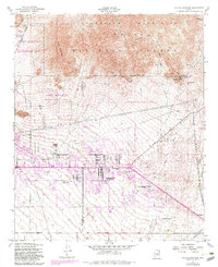
1956 Map of Apache Junction
USGS Topo · Published 1983About this map
Apache Junction serves as the focal point of this mid-century survey, situated at the junction of the historic Apache Trail and Baseline Road. The landscape is defined by the transition from the residential and agricultural development south of the Gila and Salt River Base Line to the steep slopes of the Goldfield Mountains and Usery Mountain. Local landmarks such as the Superstition Mtn School and various trailer parks indicate the post-war growth of the area.
Find a feature on this map
28 named features on this map. Tap any name to fly to it.
Don’t see what you’re looking for? This feature index may not catch every label — zoom into the map to look around manually.
Map Details
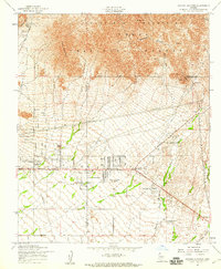
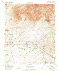
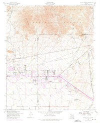
Editions of this 1956 Apache Junction Map
5 editions found
Other maps of this area

1900 · Florence
USGS Topo · 1:125,000

1902 · Florence
USGS Topo · 1:125,000

1904 · Desert Well
USGS Topo · 1:62,500

1904 · Ft. McDowell
USGS Topo · 1:62,500

1906 · Ft. McDowell
USGS Topo · 1:62,500

1906 · Desert Well
USGS Topo · 1:62,500

1907 · Roosevelt
USGS Topo · 1:125,000

1909 · Four Peaks
USGS Topo · 1:125,000

1912 · Roosevelt
USGS Topo · 1:125,000

1930 · Cave Creek
USGS Topo · 1:125,000