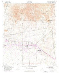
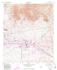
1956 Map of Apache Junction
USGS Topo · Published 1975About this map
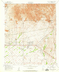
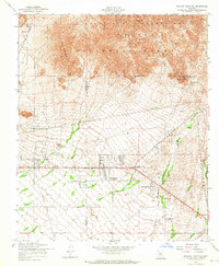
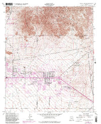
The Apache Junction area is documented here during a period of significant mid-century transition, with original 1956 data updated by 1973 photogrammetric revisions. The southern half of the sheet shows the encroaching development of residential tracts and trailer parks near Superstition Mtn School, contrasting sharply with the northern expanse of the Tonto National Forest. The topography is dominated by the Goldfield Mountains and Pass Mountain, where the terrain is marked by traditional western landmarks like the Bulldog Mine and the historic Apache Trail. This transition from mining and open range to early suburbanization is visible in the alignment of Baseline Road and the scattered settlements at Palm Springs and Rock House. Natural drainage patterns like Weekes Wash and Siphon Draw remain prominent, tracing paths through the desert floor from the high country of the Usery Mts.
Find a feature on this map
26 named features on this map. Tap any name to fly to it.
Don’t see what you’re looking for? This feature index may not catch every label — zoom into the map to look around manually.
Map Details
Editions of this 1956 Apache Junction Map
5 editions found
Other maps of this area

1900 · Florence
USGS Topo · 1:125,000

1902 · Florence
USGS Topo · 1:125,000

1904 · Desert Well
USGS Topo · 1:62,500

1904 · Ft. McDowell
USGS Topo · 1:62,500

1906 · Ft. McDowell
USGS Topo · 1:62,500

1906 · Desert Well
USGS Topo · 1:62,500

1907 · Roosevelt
USGS Topo · 1:125,000

1909 · Four Peaks
USGS Topo · 1:125,000

1912 · Roosevelt
USGS Topo · 1:125,000

1930 · Cave Creek
USGS Topo · 1:125,000