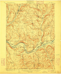
1904 Map of Apalachin
USGS Topo · Published 1910About this map
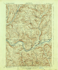
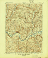
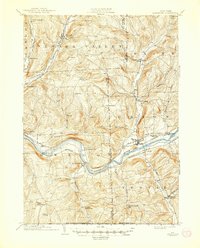
The Susquehanna River carves a central path through this Southern Tier landscape at the turn of the century, serving as the primary corridor for regional infrastructure. Dense settlement patterns are visible at Union and Endicott, where an Electric line and the Erie Railroad parallel the northern riverbank. To the south, the Delaware Lackawanna and Western Railroad tracks follow the southern shore through Vestal and Apalachin, illustrating a period of intense rail competition before modern highway development changed the river valley.
Find a feature on this map
50 named features on this map. Tap any name to fly to it.
Don’t see what you’re looking for? This feature index may not catch every label — zoom into the map to look around manually.
Map Details
Editions of this 1904 Apalachin Map
8 editions found
Other maps of this area

1900 · Dryden
USGS Topo · 1:62,500

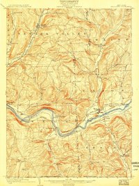
1901 · Apalachin
USGS Topo · 1:62,500

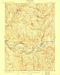
1903 · Owego
USGS Topo · 1:62,500

1903 · Harford
USGS Topo · 1:62,500

1904 · Binghamton
USGS Topo · 1:62,500

1904 · Greene
USGS Topo · 1:62,500

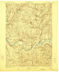
1904 · Apalachin
USGS Topo · 1:62,500

1906 · Catatonk
USGS Topo · 1:125,000

1923 · Towanda
USGS Topo · 1:62,500

1926 · Towanda
USGS Topo · 1:62,500