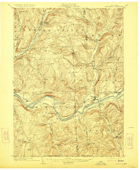
1904 Map of Apalachin
USGS Topo · Published 1923About this map
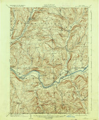
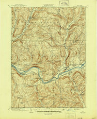
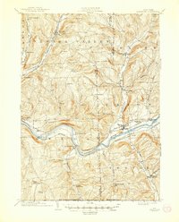
The Susquehanna River carves a deep valley through this Southern Tier landscape, serving as the primary corridor for regional transport and settlement at the start of the 20th century. Three major rail lines—the Erie, the Delaware Lackawanna And Western, and the Lehigh Valley—parallel the water, illustrating the era's dependence on river-level grades for industrial movement. Away from the industrial centers of Union and Endicott, the topography rises sharply into a series of ridges and upland farming communities. Smaller, more isolated hamlets like Waite Settlement and Oakley Cors are reached by winding roads that follow the drainage of Nanticoke Creek and Apalachin Creek. This survey provides a look at the division between the burgeoning rail towns along the river and the rural hill country, where prominent heights such as Pinnacle and Cafferty Hill overlook the winding water of the Susquehanna and its many tributaries.
Find a feature on this map
50 named features on this map. Tap any name to fly to it.
Don’t see what you’re looking for? This feature index may not catch every label — zoom into the map to look around manually.
Map Details
Editions of this 1904 Apalachin Map
8 editions found
Other maps of this area

1900 · Dryden
USGS Topo · 1:62,500

1901 · Apalachin
USGS Topo · 1:62,500

1903 · Owego
USGS Topo · 1:62,500

1903 · Harford
USGS Topo · 1:62,500

1904 · Binghamton
USGS Topo · 1:62,500

1904 · Greene
USGS Topo · 1:62,500

1904 · Apalachin
USGS Topo · 1:62,500

1906 · Catatonk
USGS Topo · 1:125,000

1923 · Towanda
USGS Topo · 1:62,500

1926 · Towanda
USGS Topo · 1:62,500