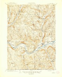
1904 Map of Apalachin
USGS Topo · Published 1944About this map
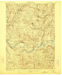
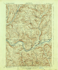
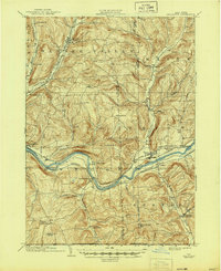
Susquehanna River valley life at the opening of the twentieth century is defined by a dense network of competing rail lines and small agricultural hamlets. The Erie RR and the Delaware Lackawanna and Western RR trace the river’s north and south banks respectively, while the Lehigh Valley RR follows the East Branch Owego Creek through Newark Valley. These transport corridors connect industrializing centers like Union and Endicott to the surrounding hillsides.
Find a feature on this map
49 named features on this map. Tap any name to fly to it.
Don’t see what you’re looking for? This feature index may not catch every label — zoom into the map to look around manually.
Map Details
Editions of this 1904 Apalachin Map
8 editions found
Other maps of this area

1900 · Dryden
USGS Topo · 1:62,500

1901 · Apalachin
USGS Topo · 1:62,500

1903 · Owego
USGS Topo · 1:62,500

1903 · Harford
USGS Topo · 1:62,500

1904 · Binghamton
USGS Topo · 1:62,500

1904 · Greene
USGS Topo · 1:62,500

1904 · Apalachin
USGS Topo · 1:62,500

1906 · Catatonk
USGS Topo · 1:125,000

1923 · Towanda
USGS Topo · 1:62,500

1926 · Towanda
USGS Topo · 1:62,500