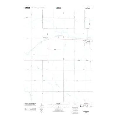
2013 Map of Aplington
USGS Topo · Published 2013About this map
Aplington and Austinville serve as the primary settlement hubs in this Butler County landscape, connected by the corridor of Highway 57. The area is defined by a dense network of hydrologic features, most notably the winding course of Beaver Cr and its various tributaries including N Beaver Cr and Gran Cr. The map reveals a highly structured agricultural grid, where long thoroughfares such as Cedar Ave and Grand Ave intersect with numbered east-west routes like 300th St and 330th St. In the southern portion of the quadrangle, the complex drainage patterns of the N Fork S Beaver Cr and Middle Fork S Beaver Cr illustrate the subtle topography of the Iowa prairie. This modern survey provides an exact record of the residential street layouts in Aplington, including Nash St and Glenn St, alongside the rural lane system that supports the region's farming economy.
Find a feature on this map
49 named features on this map. Tap any name to fly to it.
Don’t see what you’re looking for? This feature index may not catch every label — zoom into the map to look around manually.
Map Details
Editions of this 2013 Aplington Map
This is the sole edition of this map. No revisions or reprints were ever made.
Other maps of this area

1954 · Waterloo
USGS Topo · 1:250,000

1955 · Waterloo
USGS Topo · 1:250,000

1979 · Holland
USGS Topo · 1:24,000

1979 · Ackley NE
USGS Topo · 1:24,000

1979 · Ackley
USGS Topo · 1:24,000

1979 · Steamboat Rock
USGS Topo · 1:24,000

1979 · Dumont South
USGS Topo · 1:24,000

1979 · Butler Center
USGS Topo · 1:24,000

1980 · Aplington
USGS Topo · 1:24,000

1980 · Wellsburg
USGS Topo · 1:24,000