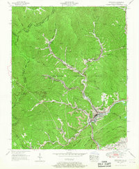
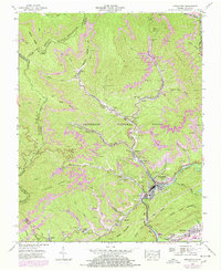
1955 Map of Appalachia
USGS Topo · Published 1967About this map
Coal camps and mountain hollows dominate this mid-century survey of the Virginia and Kentucky borderlands. Centered on the town of Appalachia, the landscape is defined by the narrow valleys of Callahan Creek and Roaring Fork, where railroad lines like the Southern and L & N once served a dense network of mining settlements. Distinctive industrial patterns are visible, from the Strip mine operations atop Sams Ridge to the concentrated worker housing in Roda, Osaka, and Stonega. The rugged topography of Black Mountain and Stone Mountain hems in these communities, forcing development into tight corridors alongside water bodies like Mud Lick Creek. Cultural markers including the Exeter School and Kilbourn Cem anchor the social history of these mountain towns, while the presence of a Dismantled railroad north of Osaka hints at the shifting fortunes of the region's extractive economy during the 1950s.
Find a feature on this map
55 named features on this map. Tap any name to fly to it.
Don’t see what you’re looking for? This feature index may not catch every label — zoom into the map to look around manually.
Map Details
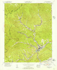
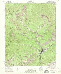
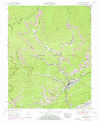
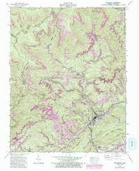
Editions of this 1955 Appalachia Map
6 editions found
Other maps of this area

1890 · Whitesburg
USGS Topo · 1:125,000

1892 · Whitesburg
USGS Topo · 1:125,000

1894 · Estillville
USGS Topo · 1:125,000

1912 · Pound
USGS Topo · 1:48,000

1913 · Oven Fork
USGS Topo · 1:48,000

1914 · Pound
USGS Topo · 1:62,500

1915 · Whitesburg
USGS Topo · 1:62,500

1920 · Wise
USGS Topo · 1:48,000

1921 · Big Stone Gap
USGS Topo · 1:48,000

1921 · Wise
USGS Topo · 1:62,500