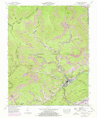
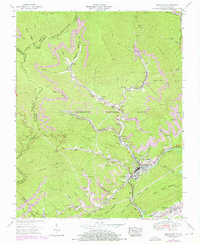
1955 Map of Appalachia
USGS Topo · Published 1978About this map
The Kentucky Virginia Divide follows the high crest of Black Mountain, setting the stage for a landscape defined by intensive coal extraction and rail transport in the mid-1950s. Communities like Appalachia and Big Stone Gap serve as the primary hubs, where the L & N, Interstate, and Southern rail lines converge to move resources from the interior hollows. Industrial features such as the Interstate Yards, Southern Yards, and numerous Strip Mines are deeply integrated into the local geography. Significant mining operations, including the Exeter Mine and its accompanying Exeter School, reflect the era's company-town structure. High above the valley floors, an Aerial cableway near Derby and the Dismantled railroad near Osaka indicate the evolving infrastructure of the Wise County coalfields as older methods gave way to modern mechanized mining.
Find a feature on this map
68 named features on this map. Tap any name to fly to it.
Don’t see what you’re looking for? This feature index may not catch every label — zoom into the map to look around manually.
Map Details
Editions of this 1955 Appalachia Map
6 editions found
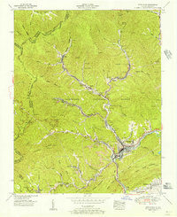
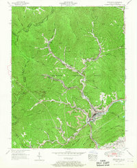
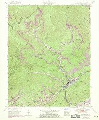
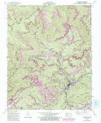
Other maps of this area

1890 · Whitesburg
USGS Topo · 1:125,000

1892 · Whitesburg
USGS Topo · 1:125,000

1894 · Estillville
USGS Topo · 1:125,000

1912 · Pound
USGS Topo · 1:48,000

1913 · Oven Fork
USGS Topo · 1:48,000

1914 · Pound
USGS Topo · 1:62,500

1915 · Whitesburg
USGS Topo · 1:62,500

1920 · Wise
USGS Topo · 1:48,000

1921 · Big Stone Gap
USGS Topo · 1:48,000

1921 · Wise
USGS Topo · 1:62,500