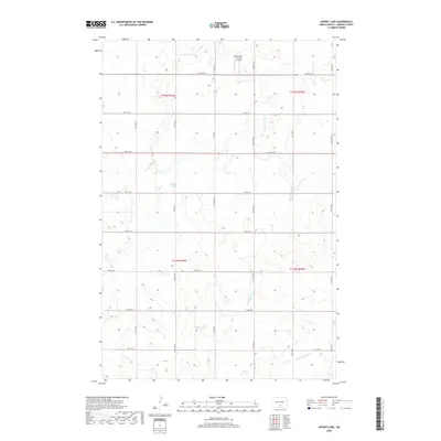
2018 Map of Appert Lake
USGS Topo · Published 2018About this map
Appert Lake anchors this portion of Hazelton Township, where the central North Dakota landscape is defined by the gradual drainage of the W Br Long Lake Cr. The terrain is characterized by a high-density grid of section roads, including 64th St SE through 71st St SE, which facilitate access to the surrounding agricultural tracts. A notable modern landmark in this rural expanse is the Humann Private Airstrip, situated in the northern reaches of the quadrangle near the boundary of T135N R76W and T135N R75W. Smaller seasonal waterways like Spring Cr snake through the southern sections, illustrating the natural prairie hydrology that coexists with the rigid Public Land Survey System. The area remains sparsely populated, with development concentrated around specialized facilities and the primary lake basin.
Find a feature on this map
22 named features on this map. Tap any name to fly to it.
Don’t see what you’re looking for? This feature index may not catch every label — zoom into the map to look around manually.
Map Details
Editions of this 2018 Appert Lake Map
This is the sole edition of this map. No revisions or reprints were ever made.
Other maps of this area

1954 · Bismarck
USGS Topo · 1:250,000

1958 · Bismarck
USGS Topo · 1:250,000

1971 · Hazelton
USGS Topo · 1:24,000

1971 · Moffit SE
USGS Topo · 1:24,000

1971 · Temvik
USGS Topo · 1:24,000

1975 · Dana
USGS Topo · 1:24,000

1975 · Appert Lake
USGS Topo · 1:24,000

1975 · Linton NE
USGS Topo · 1:24,000

1975 · Braddock
USGS Topo · 1:24,000

1979 · Bismarck
USGS Topo · 1:100,000