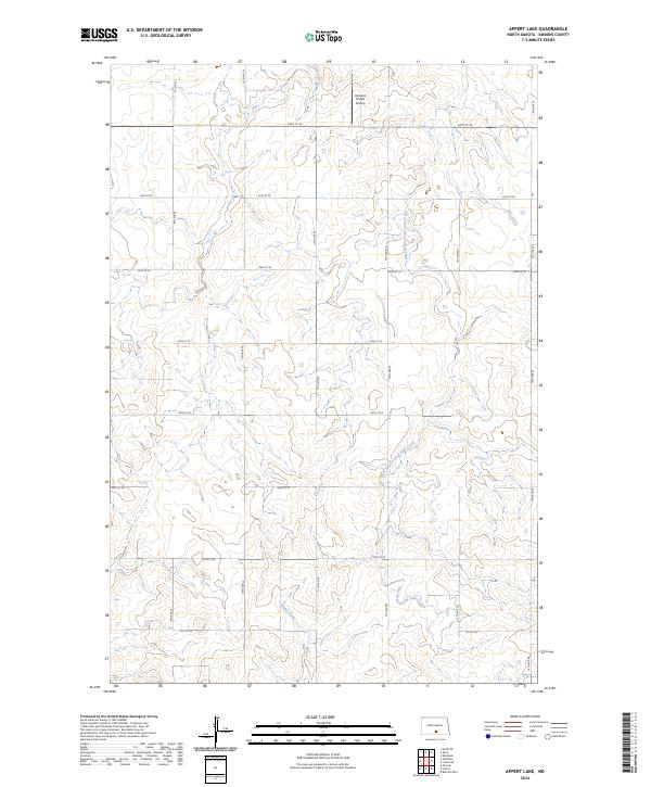
2024 Map of Appert Lake
USGS Topo · Published 2024About this map
Conservation lands dominate the landscape of central North Dakota on this recent topographic record. The Appert Lake National Wildlife Refuge and the Emmons County Waterfowl Production Area occupy a significant portion of the terrain, providing protected habitats for native bird populations. The hydrology is defined by the winding paths of West Branch Long Lake Creek and Spring Creek, which move through a series of prairie depressions and low-lying areas. Beyond the wildlife management zones, a grid of section lines like 9th Ave SE and 64th St SE organizes the open country. A single point of private aviation, the Humann Private Airstrip, sits in the northern portion of the quadrangle, serving as a rare man-made landmark in this largely unpopulated agricultural and ecological corridor.
Find a feature on this map
23 named features on this map. Tap any name to fly to it.
Don’t see what you’re looking for? This feature index may not catch every label — zoom into the map to look around manually.
Map Details
Editions of this 2024 Appert Lake Map
This is the sole edition of this map. No revisions or reprints were ever made.
Other maps of this area

1954 · Bismarck
USGS Topo · 1:250,000

1958 · Bismarck
USGS Topo · 1:250,000

1971 · Hazelton
USGS Topo · 1:24,000

1971 · Moffit SE
USGS Topo · 1:24,000

1971 · Temvik
USGS Topo · 1:24,000

1975 · Dana
USGS Topo · 1:24,000

1975 · Appert Lake
USGS Topo · 1:24,000

1975 · Linton NE
USGS Topo · 1:24,000

1975 · Braddock
USGS Topo · 1:24,000

1979 · Bismarck
USGS Topo · 1:100,000