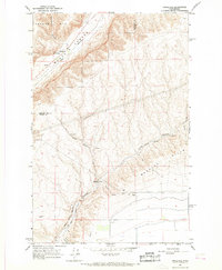
1966 Map of Appledale
USGS Topo · Published 1968About this map
Moses Coulee dominates this mid-1960s landscape, serving as a deep geological corridor for the Great Northern railroad as it cuts through the high desert of Central Washington. Near the small settlement of Appledale, the terrain transitions into the steep Sutherland Canyon and the heights of Badger Mtn. A significant cultural landmark, the Chief Moses Council Cave, is situated along the coulee walls, indicating the area's importance to the region's indigenous history before European settlement.
Find a feature on this map
31 named features on this map. Tap any name to fly to it.
Don’t see what you’re looking for? This feature index may not catch every label — zoom into the map to look around manually.
Map Details
Editions of this 1966 Appledale Map
2 editions found
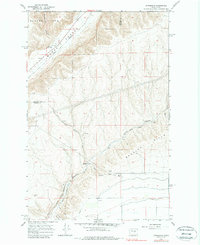
Other maps of this area

1909 · Quincy
USGS Topo · 1:62,500

1910 · Quincy
USGS Topo · 1:62,500

1912 · Malaga
USGS Topo · 1:48,000

1914 · Malaga
USGS Topo · 1:62,500

1920 · Colockum Pass
USGS Topo · 1:125,000

1922 · Colockum Pass
USGS Topo · 1:125,000

1953 · Ritzville
USGS Topo · 1:250,000

1957 · Wenatchee
USGS Topo · 1:250,000

1959 · Ritzville
USGS Topo · 1:250,000

1965 · Ritzville
USGS Topo · 1:250,000