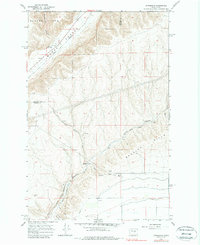
1966 Map of Appledale
USGS Topo · Published 1987About this map
Great Northern rail lines and deep, ancient geological formations define this mid-century landscape along the border of Douglas and Grant counties. The small settlement of Appledale serves as a central point in a region dominated by the massive depressions of Crater Coulee and Lynch Coulee, where the railroad navigates through a tunnel to bypass the steep terrain. One of the most significant historical landmarks shown is the Chief Moses Council Cave, providing a rare direct reference to indigenous history and local lore.
Find a feature on this map
27 named features on this map. Tap any name to fly to it.
Don’t see what you’re looking for? This feature index may not catch every label — zoom into the map to look around manually.
Map Details
Editions of this 1966 Appledale Map
2 editions found
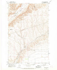
Other maps of this area

1909 · Quincy
USGS Topo · 1:62,500

1910 · Quincy
USGS Topo · 1:62,500

1912 · Malaga
USGS Topo · 1:48,000

1914 · Malaga
USGS Topo · 1:62,500

1920 · Colockum Pass
USGS Topo · 1:125,000

1922 · Colockum Pass
USGS Topo · 1:125,000

1953 · Ritzville
USGS Topo · 1:250,000

1957 · Wenatchee
USGS Topo · 1:250,000

1959 · Ritzville
USGS Topo · 1:250,000

1965 · Ritzville
USGS Topo · 1:250,000