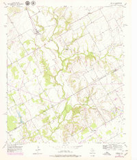
1957 Map of Aquilla
USGS Topo · Published 1979About this map
Aquilla serves as the central hub for this rural Hill County landscape, where the local economy and movement were traditionally defined by the Old Railroad Grade running through the settlement. The map reveals a community structured around cotton and small-scale industry, evidenced by the presence of the County Line Gin near the intersection of various country roads. As Aquilla Creek and its tributaries like Alligator Creek and Snake Creek carve through the terrain, the placement of landmarks such as the Gaging Sta and Gravel Pit indicate how the local environment was monitored and utilized during the mid-20th century.
Find a feature on this map
24 named features on this map. Tap any name to fly to it.
Don’t see what you’re looking for? This feature index may not catch every label — zoom into the map to look around manually.
Map Details
Editions of this 1957 Aquilla Map
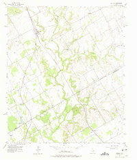
3 editions found
Other maps of this area

1892 · Waco
USGS Topo · 1:125,000

1920 · Waco
USGS Topo · 1:125,000

1931 · Whitney
USGS Topo · 1:62,500

1931 · Valley Mills
USGS Topo · 1:62,500

1931 · Elm Mott
USGS Topo · 1:62,500

1954 · Waco
USGS Topo · 1:250,000

1955 · Waco
USGS Topo · 1:250,000

1956 · Abbott
USGS Topo · 1:24,000

1956 · West
USGS Topo · 1:24,000
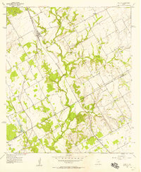
1957 · Aquilla
USGS Topo · 1:24,000