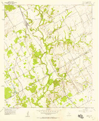
1957 Map of Aquilla
USGS Topo · Published 1957About this map
The boundary between Hill Co and McLennan Co cuts across this mid-century landscape, where agricultural patterns are shaped by the winding course of Aquilla Creek and its tributaries like Alligator Creek and Snake Creek. The town of Aquilla serves as a primary hub, situated along the Missouri Kansas Texas railroad line which facilitated the regional transport of local goods.
Find a feature on this map
23 named features on this map. Tap any name to fly to it.
Don’t see what you’re looking for? This feature index may not catch every label — zoom into the map to look around manually.
Map Details
Editions of this 1957 Aquilla Map
3 editions found
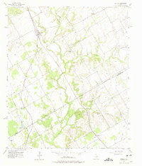
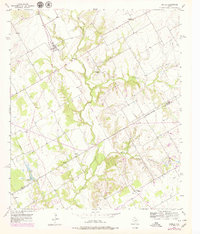
Other maps of this area

1892 · Waco
USGS Topo · 1:125,000

1920 · Waco
USGS Topo · 1:125,000

1931 · Whitney
USGS Topo · 1:62,500

1931 · Valley Mills
USGS Topo · 1:62,500

1931 · Elm Mott
USGS Topo · 1:62,500

1954 · Waco
USGS Topo · 1:250,000

1955 · Waco
USGS Topo · 1:250,000

1956 · Abbott
USGS Topo · 1:24,000

1956 · West
USGS Topo · 1:24,000
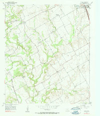
1957 · Peoria
USGS Topo · 1:24,000