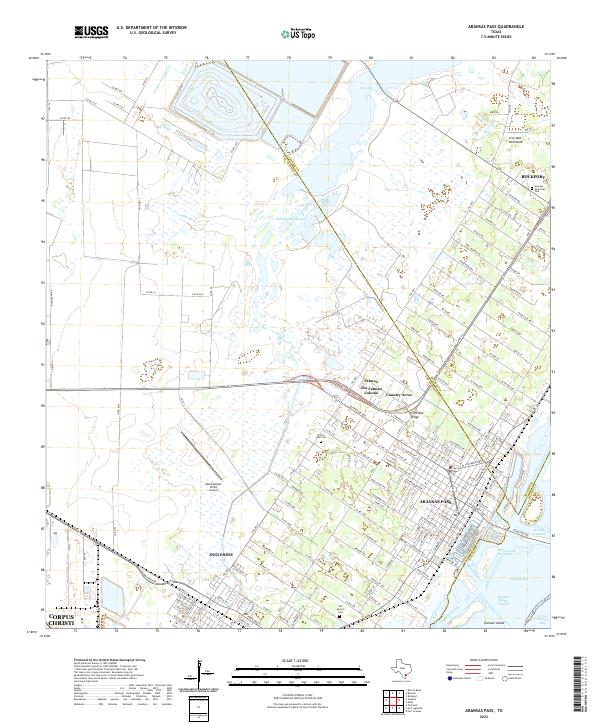
2022 Map of Aransas Pass
USGS Topo · Published 2022About this map
Aransas Pass and Ingleside serve as the primary anchors of this coastal landscape, situated where the Intracoastal Waterway meets the complex marshlands of McCampbell Slough. The map documents the intricate boundary lines where Aransas, San Patricio, and Nueces Counties converge amidst a network of tidal flats and inlets. Residential growth is visible in settlements like The Falman Colonia and Country Acres, while the northern reach of Live Oak Peninsula marks the approach to Rockport.
Find a feature on this map
151 named features on this map. Tap any name to fly to it.
Don’t see what you’re looking for? This feature index may not catch every label — zoom into the map to look around manually.
Map Details
Editions of this 2022 Aransas Pass Map
This is the sole edition of this map. No revisions or reprints were ever made.
Other maps of this area

1925 · Aransas Pass
USGS Topo · 1:62,500

1925 · Corpus Christi
USGS Topo · 1:62,500

1950 · Corpus Christi
USGS Topo · 1:250,000

1951 · Portland
USGS Topo · 1:24,000

1951 · Corpus Christi
USGS Topo · 1:62,500

1953 · Beeville
USGS Topo · 1:250,000

1954 · Rockport
USGS Topo · 1:62,500

1954 · Aransas Pass
USGS Topo · 1:24,000

1954 · Port Ingleside
USGS Topo · 1:24,000

1954 · Woodsboro
USGS Topo · 1:62,500
Featured Places
- Corpus Christi, TX
- Ingleside, TX
- Aransas Pass, TX
- Country Estates Colonia, Aransas Pass
- Mooney Lane Colonia, Ingleside