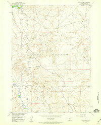
1958 Map of Arapahoe NE
USGS Topo · Published 1959About this map
The Wind River Indian Reservation landscape is defined by its industrial development during the late 1950s, with numerous oil wells and gas wells dotting the terrain south of the Gas Hills. An extensive network of pipelines cuts across the land, connecting these energy resources to larger hubs via the Riverton Road. This survey captures a specific era of resource extraction when petroleum and natural gas infrastructure integrated with the natural drainage systems of the Popo Agie River and Beaver Creek. To the north, the Double Dives recreation site and a gaging station along the river suggest a mix of local utility and leisure. Notable topographic landmarks such as Sevenmile Hill and seasonal drainages like Kirby Draw and Halfway Draw provide context for the arid, high-country environment of Fremont County during this period.
Find a feature on this map
20 named features on this map. Tap any name to fly to it.
Don’t see what you’re looking for? This feature index may not catch every label — zoom into the map to look around manually.
Map Details
Editions of this 1958 Arapahoe NE Map
3 editions found
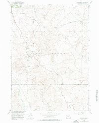
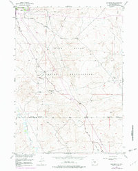
Other maps of this area

1950 · Riverton East
USGS Topo · 1:24,000

1951 · Indian Butte
USGS Topo · 1:24,000

1951 · Riverton West
USGS Topo · 1:24,000

1953 · Arapahoe NE
USGS Topo · 1:24,000

1953 · Ninemile Hill
USGS Topo · 1:24,000

1953 · Bringolf Ranch
USGS Topo · 1:24,000

1953 · Arapahoe
USGS Topo · 1:24,000

1953 · Sand Draw
USGS Topo · 1:24,000

1955 · Thermopolis
USGS Topo · 1:250,000

1955 · Lander
USGS Topo · 1:250,000