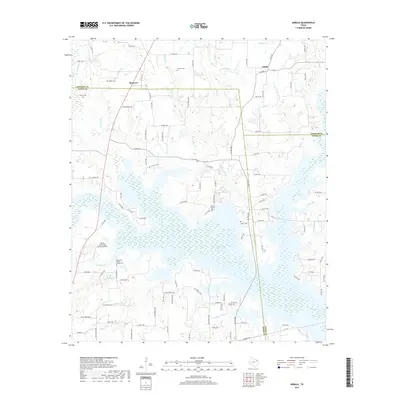
2019 Map of Arbala
USGS Topo · Published 2019About this map
The community of Arbala anchors the northern portion of this East Texas survey, where the border of Rains and Hopkins counties meets a landscape defined by the expansive waters of Case Lake. This area reflects a deep-rooted rural character, evidenced by the high concentration of family and community burial grounds such as Robertson-Henrys Chapel Cem and Burke - Yandell Cem. To the west, the settlement of Bonanza sits near several tributaries including Gordon Br and Ishmeal Br, which drain toward the larger lake system.
Find a feature on this map
115 named features on this map. Tap any name to fly to it.
Don’t see what you’re looking for? This feature index may not catch every label — zoom into the map to look around manually.
Map Details
Editions of this 2019 Arbala Map
This is the sole edition of this map. No revisions or reprints were ever made.
Other maps of this area

1953 · Texarkana
USGS Topo · 1:250,000

1956 · Texarkana
USGS Topo · 1:250,000

1956 · Tyler
USGS Topo · 1:250,000
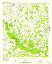
1956 · Emory
USGS Topo · 1:62,500
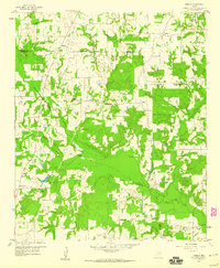
1958 · Arbala
USGS Topo · 1:24,000
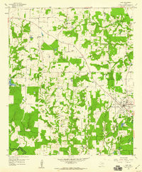
1958 · Alba
USGS Topo · 1:24,000
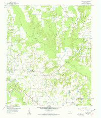
1959 · Calvary
USGS Topo · 1:24,000
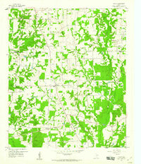
1959 · Yantis
USGS Topo · 1:24,000
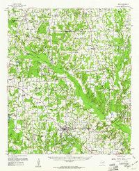
1959 · Alba
USGS Topo · 1:62,500
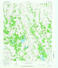
1962 · Miller Grove
USGS Topo · 1:24,000