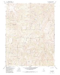
1980 Map of Arc Dome
USGS Topo · Published 1985About this map
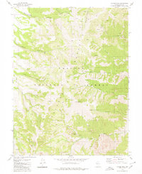
Arc Dome serves as the focal point for this high-elevation survey of the Toiyabe Range in Nye County. The landscape is defined by its extreme verticality and the drainage systems of the North Twin River and the South Fork Twin River. Evidence of high-country land use is visible at South Twin Pasture and the Upper Corral, suggesting seasonal grazing patterns within the Toiyabe National Forest.
Find a feature on this map
30 named features on this map. Tap any name to fly to it.
Don’t see what you’re looking for? This feature index may not catch every label — zoom into the map to look around manually.
Map Details
Editions of this 1980 Arc Dome Map
3 editions found
Other maps of this area

1907 · Tonopah
USGS Topo · 1:250,000

1908 · Tonopah
USGS Topo · 1:250,000

1956 · Tonopah
USGS Topo · 1:250,000

1959 · Tonopah
USGS Topo · 1:250,000

1962 · Tonopah
USGS Topo · 1:250,000

1971 · Carvers NW
USGS Topo · 1:24,000

1971 · Carvers
USGS Topo · 1:24,000

1971 · Pablo Canyon Ranch
USGS Topo · 1:24,000
1979 · Corral Wash
USGS Topo · 1:24,000
1979 · Toiyabe Peak
USGS Topo · 1:24,000