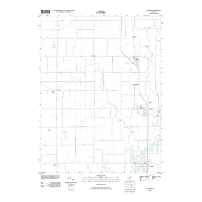
2010 Map of Arcadia
USGS Topo · Published 2010About this map
Morse Reservoir dominates the southern landscape of this 2010 study, marking the modern hydrology of Hamilton County where Cicero Creek and Hinkle Creek converge. The area maintains a structured rural grid, punctuated by historic rail-aligned settlements including Atlanta, Arcadia, and the northern edge of Cicero. Local history is deeply embedded in the land through numerous small burial grounds such as Goodykoontz Cemetery and Robert's Chapel Cemetery, many of which remain adjacent to family-named roads. The map captures the transition from these smaller nineteenth-century crossroads like Millersburg to the twentieth-century infrastructure of Heinzman Airport. Waterways such as Little Cicero Creek and Taylor Creek continue to define the drainage patterns across the agricultural blocks, illustrating the enduring relationship between the region's natural streams and its established townships.
Find a feature on this map
85 named features on this map. Tap any name to fly to it.
Don’t see what you’re looking for? This feature index may not catch every label — zoom into the map to look around manually.
Map Details
Editions of this 2010 Arcadia Map
This is the sole edition of this map. No revisions or reprints were ever made.
Other maps of this area

1953 · Westfield
USGS Topo · 1:24,000

1953 · Riverwood
USGS Topo · 1:24,000

1953 · Noblesville
USGS Topo · 1:24,000

1953 · Danville
USGS Topo · 1:250,000

1953 · Muncie
USGS Topo · 1:250,000

1955 · Danville
USGS Topo · 1:250,000

1956 · Muncie
USGS Topo · 1:250,000

1956 · Danville
USGS Topo · 1:250,000

1960 · Noblesville
USGS Topo · 1:24,000

1960 · Kempton
USGS Topo · 1:24,000