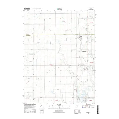
2016 Map of Arcadia
USGS Topo · Published 2016About this map
Atlanta, Arcadia, and Cicero align along a north-south corridor through the heart of Hamilton County, showcasing a landscape defined by organized agriculture and precise drainage systems. The terrain is crisscrossed by an extensive network of waterways, including Cicero Creek, Little Cicero Cr, and Bennett Ditch, which feed south toward the expanse of the Morse Reservoir. This 2016 survey documents the enduring settlement patterns of central Indiana, where small rural airstrips like the Bee-Acre Farm Strip and Skyridge Airport sit alongside historic community landmarks. Genealogists will find a high density of burial sites across the township, ranging from the Goodykoontz Cem in the north to the Emmanuel Lutheran Cem and Scherer Cem near the central settlements, preserving the names of the region's early farming families.
Find a feature on this map
59 named features on this map. Tap any name to fly to it.
Don’t see what you’re looking for? This feature index may not catch every label — zoom into the map to look around manually.
Map Details
Editions of this 2016 Arcadia Map
This is the sole edition of this map. No revisions or reprints were ever made.
Other maps of this area

1953 · Westfield
USGS Topo · 1:24,000

1953 · Riverwood
USGS Topo · 1:24,000

1953 · Noblesville
USGS Topo · 1:24,000

1953 · Danville
USGS Topo · 1:250,000

1953 · Muncie
USGS Topo · 1:250,000

1955 · Danville
USGS Topo · 1:250,000

1956 · Muncie
USGS Topo · 1:250,000

1956 · Danville
USGS Topo · 1:250,000

1960 · Noblesville
USGS Topo · 1:24,000

1960 · Kempton
USGS Topo · 1:24,000