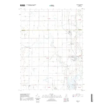
2019 Map of Arcadia
USGS Topo · Published 2019About this map
Cicero Creek and its many tributaries, including Little Cicero Creek and Bacon Prairie Cr, dominate this section of the central Indiana landscape along the Hamilton and Tipton County line. The southern portion of the map is defined by the expanse of the Morse Reservoir, which reaches toward the town of Cicero. The area's agricultural character is evidenced by an extensive network of ditches like Carson Ditch and Doversberger Ditch, essential for managing the drainage of the local prairie lands.
Find a feature on this map
130 named features on this map. Tap any name to fly to it.
Don’t see what you’re looking for? This feature index may not catch every label — zoom into the map to look around manually.
Map Details
Editions of this 2019 Arcadia Map
This is the sole edition of this map. No revisions or reprints were ever made.
Other maps of this area

1953 · Westfield
USGS Topo · 1:24,000

1953 · Riverwood
USGS Topo · 1:24,000

1953 · Noblesville
USGS Topo · 1:24,000

1953 · Danville
USGS Topo · 1:250,000

1953 · Muncie
USGS Topo · 1:250,000

1955 · Danville
USGS Topo · 1:250,000

1956 · Muncie
USGS Topo · 1:250,000

1956 · Danville
USGS Topo · 1:250,000

1960 · Noblesville
USGS Topo · 1:24,000

1960 · Kempton
USGS Topo · 1:24,000