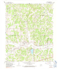
1966 Map of Arcadia
USGS Topo · Published 1991About this map
Arcadia sits at the center of this landscape, where the Missouri - Kansas - Texas railroad and Highway 66 follow the valley of the Deep Fork river. The area reflects a mid-century period of energy extraction and civic growth, evidenced by the NW Coon Creek Gas and Oil Field to the north and the expanding Edmond corporate boundaries to the west. Local genealogy is well-represented through several family and fraternal burial sites, including Donnell Cem, Spigner Cem, and the IOOF Cem. To the south, Lake Hiwassee provides a major water feature near the modern corridor of the Turner Turnpike Toll Road. The transition from agrarian land to industrial oil production is clear, with numerous Oil Wells scattered across the northern sections near Springvale.
Find a feature on this map
36 named features on this map. Tap any name to fly to it.
Don’t see what you’re looking for? This feature index may not catch every label — zoom into the map to look around manually.
Map Details
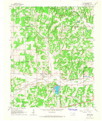
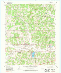
Editions of this 1966 Arcadia Map
3 editions found
Other maps of this area

1892 · Guthrie
USGS Topo · 1:62,500

1892 · Edmond
USGS Topo · 1:62,500

1909 · Luther
USGS Topo · 1:62,500

1909 · Perkins
USGS Topo · 1:62,500

1935 · Spencer
USGS Topo · 1:24,000

1935 · Edmond
USGS Topo · 1:48,000

1940 · Edmond
USGS Topo · 1:62,500

1954 · Oklahoma City
USGS Topo · 1:250,000
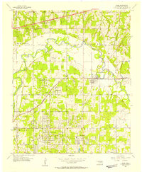
1955 · Jones
USGS Topo · 1:24,000

1956 · Horseshoe Lake
USGS Topo · 1:24,000