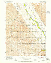
1951 Map of Arcadia SE
USGS Topo · Published 1953About this map
The Middle Loup River valley in Sherman County is the central corridor for this early 1950s survey, showing a landscape defined by water management and rural education. The river is shadowed by the Chicago Burlington and Quincy railroad and vital irrigation infrastructure like Canal No 3. These features were documented as part of the Department of the Interior’s program for the development of the Missouri River Basin.
Find a feature on this map
22 named features on this map. Tap any name to fly to it.
Don’t see what you’re looking for? This feature index may not catch every label — zoom into the map to look around manually.
Map Details
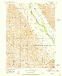
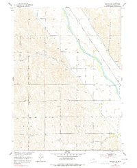
Editions of this 1951 Arcadia SE Map
4 editions found
Other maps of this area

1899 · Loup
USGS Topo · 1:125,000

1951 · Arcadia SE
USGS Topo · 1:24,000

1951 · Litchfield NE
USGS Topo · 1:24,000

1951 · Arcadia West
USGS Topo · 1:24,000

1951 · Arcadia East
USGS Topo · 1:24,000

1951 · Arcadia SW
USGS Topo · 1:24,000

1951 · Litchfield
USGS Topo · 1:24,000

1953 · Loup City NW
USGS Topo · 1:24,000

1953 · Ravenna NW
USGS Topo · 1:24,000

1953 · Loup City
USGS Topo · 1:24,000