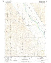
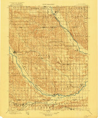
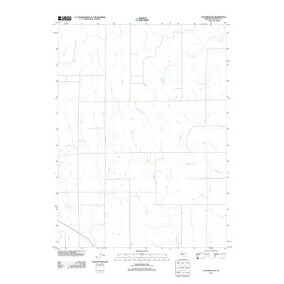
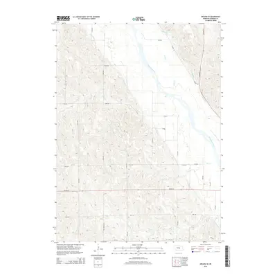
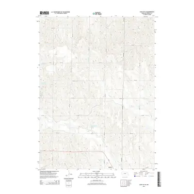
1951 Map of Arcadia SE
USGS Topo · Published 1978About this map
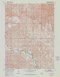
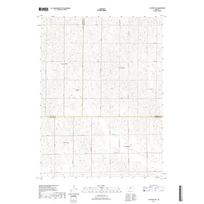
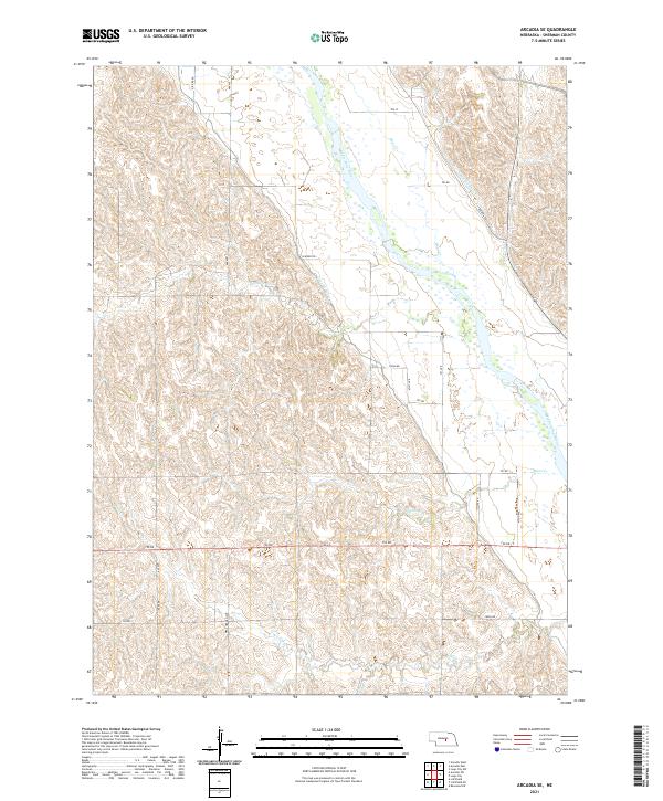
Middle Loup River flows diagonally across this Nebraska landscape, defining the transition between the agricultural uplands of Washington and Logan townships. The map documents a rural educational network at its peak, featuring an exceptional density of country schoolhouses including Mixed Grove Sch, Bristow Sch, Turkey Roost Sch, and Sunny Slope Sch. These small, localized landmarks, alongside the rail siding at Cole, illustrate the decentralized nature of the community before mid-century consolidation. Transportation and irrigation infrastructure, such as the Chicago Burlington and Quincy railroad and Canal No 3, follow the river valley, supporting the farms that border Moon Creek and Cob Creek. This survey captures the region as part of the Missouri River Basin development program, highlighting the water management systems essential to Sherman County's agrarian economy.
Find a feature on this map
25 named features on this map. Tap any name to fly to it.
Don’t see what you’re looking for? This feature index may not catch every label — zoom into the map to look around manually.
Map Details
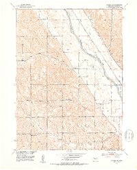
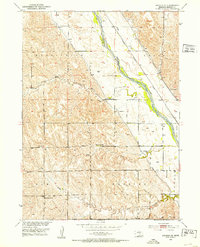
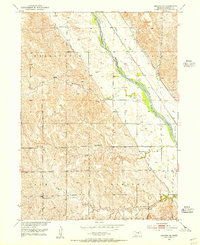
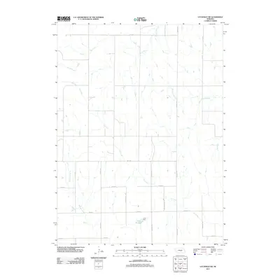
Editions of this 1951 Arcadia SE Map
4 editions found
Historical Maps of Sherman County Through Time
31 maps found
1899 Loup
Sherman County, NE
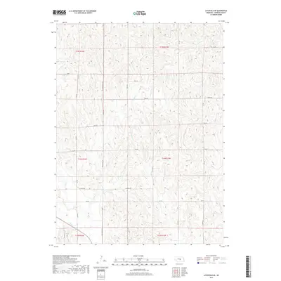
1951 Arcadia SE
Sherman County, NE
1951 Arcadia SW
Sherman County, NE
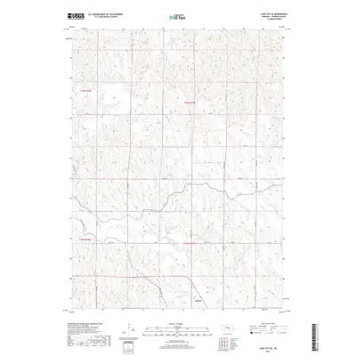
1951 Litchfield NE
Sherman County, NE
1951 Litchfield SW
Sherman County, NE
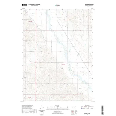
1953 Loup City SE
Sherman County, NE
1953 Ravenna NW
Sherman County, NE
2011 Arcadia SE
Sherman County, NE
2011 Arcadia SW
Sherman County, NE
2011 Litchfield NE
Sherman County, NE
2011 Litchfield SW
Sherman County, NE
2011 Loup City SE
Sherman County, NE
2011 Ravenna NW
Sherman County, NE
2014 Arcadia SE
Sherman County, NE
2014 Arcadia SW
Sherman County, NE
2014 Litchfield NE
Sherman County, NE
2014 Litchfield SW
Sherman County, NE
2014 Loup City SE
Sherman County, NE
2014 Ravenna NW
Sherman County, NE
2017 Arcadia SE
Sherman County, NE
2017 Arcadia SW
Sherman County, NE
2017 Litchfield NE
Sherman County, NE
2017 Litchfield SW
Sherman County, NE
2017 Loup City SE
Sherman County, NE
2017 Ravenna NW
Sherman County, NE
2021 Arcadia SE
Sherman County, NE
2021 Arcadia SW
Sherman County, NE
2021 Litchfield NE
Sherman County, NE
2021 Litchfield SW
Sherman County, NE
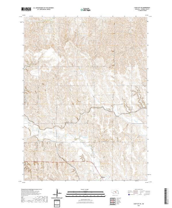
2021 Loup City SE
Sherman County, NE
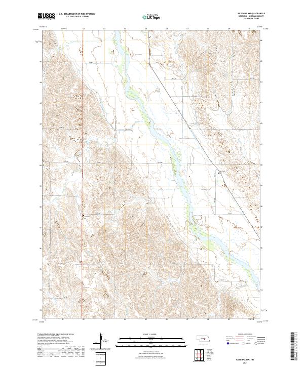
2021 Ravenna NW
Sherman County, NE