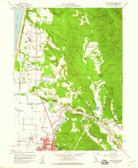
1959 Map of Arcata North
USGS Topo · Published 1960About this map
Humboldt State College anchors the southern portion of this northern California coastal region, just as the landscape begins its rise from the Arcata Bottoms toward the timber-rich highlands of Tiptop Ridge. The 1950s economy is clearly visible through the dual infrastructure of the Northwestern Pacific Railroad and a dedicated Logging Railroad serving a local Lumber Mill. Settlements like McKinleyville and Dows Prairie are depicted alongside early aviation landmarks, including the Arcata Airport and its associated Radio Transmitter. Along the coast, the Sand Dunes at Clam Beach meet the Pacific Ocean, while further inland, the course of the Mad River is traced past Azalea Reserve State Park. Small rural schools, including Morris Sch and Janes School, suggest the dispersed community life of the mid-century Redwood Empire.
Find a feature on this map
66 named features on this map. Tap any name to fly to it.
Don’t see what you’re looking for? This feature index may not catch every label — zoom into the map to look around manually.
Map Details
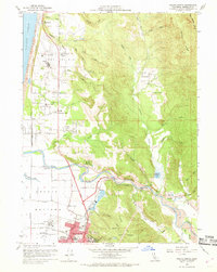
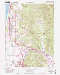
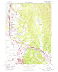
Editions of this 1959 Arcata North Map
4 editions found
Other maps of this area

1922 · Eureka
USGS Topo · 1:62,500

1922 · Korbel
USGS Topo · 1:62,500

1925 · Hoopa
USGS Topo · 1:125,000

1933 · Eureka
USGS Topo · 1:48,000

1942 · Eureka
USGS Topo · 1:62,500

1945 · Trinidad
USGS Topo · 1:62,500

1945 · Coyote Peak
USGS Topo · 1:62,500

1945 · Blue Lake
USGS Topo · 1:62,500

1948 · Weed
USGS Topo · 1:250,000

1949 · Eureka
USGS Topo · 1:250,000