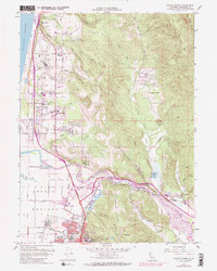
1959 Map of Arcata North
USGS Topo · Published 1988About this map
Humboldt State University anchors the southern portion of this coastal landscape, situated where the redwood-covered hills meet the Arcata city boundary. The survey illustrates a period of mid-century infrastructure growth, with the Redwood Highway cutting a clear north-south corridor through McKinleyville and past the Arcata Airport. Along the winding Mad River, industrial and agricultural life is evident through several pits, a lumber mill, and the flat expanses of the Arcata Bottoms.
Find a feature on this map
68 named features on this map. Tap any name to fly to it.
Don’t see what you’re looking for? This feature index may not catch every label — zoom into the map to look around manually.
Map Details
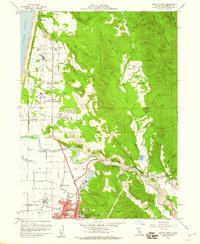
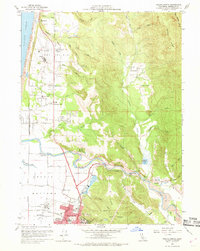
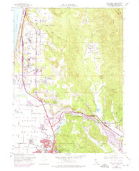
Editions of this 1959 Arcata North Map
4 editions found
Other maps of this area

1922 · Eureka
USGS Topo · 1:62,500

1922 · Korbel
USGS Topo · 1:62,500

1925 · Hoopa
USGS Topo · 1:125,000

1933 · Eureka
USGS Topo · 1:48,000

1942 · Eureka
USGS Topo · 1:62,500

1945 · Trinidad
USGS Topo · 1:62,500

1945 · Coyote Peak
USGS Topo · 1:62,500

1945 · Blue Lake
USGS Topo · 1:62,500

1948 · Weed
USGS Topo · 1:250,000

1949 · Eureka
USGS Topo · 1:250,000