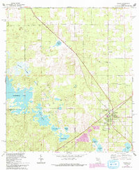
1968 Map of Archer
USGS Topo · Published 1993About this map
The boundary between Alachua Co and Levy Co runs through a landscape defined by an intricate network of sinkhole lakes and karst ponds in North Central Florida. The settlement of Pinesville and the town of Archer serve as focal points for a rural community supported by institutions like the Archer Community Sch and numerous country churches, including St Marks Ch, St Pauls Ch, and Shiloh Ch.
Find a feature on this map
27 named features on this map. Tap any name to fly to it.
Don’t see what you’re looking for? This feature index may not catch every label — zoom into the map to look around manually.
Map Details
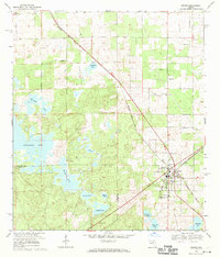
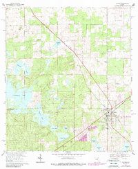
Editions of this 1968 Archer Map
3 editions found
Other maps of this area

1890 · Arredondo
USGS Topo · 1:62,500

1892 · Arredondo
USGS Topo · 1:62,500

1894 · Arredondo
USGS Topo · 1:62,500

1895 · Williston
USGS Topo · 1:62,500

1954 · Bronson
USGS Topo · 1:24,000

1954 · Gainesville
USGS Topo · 1:250,000

1955 · Bronson NE
USGS Topo · 1:24,000

1958 · Gainesville
USGS Topo · 1:250,000

1959 · Gainesville
USGS Topo · 1:250,000

1966 · Gainesville West
USGS Topo · 1:24,000