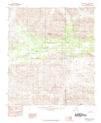
1983 Map of Arctic B-4
USGS Topo · Published 1984About this map
The Arctic National Wildlife Refuge dominates this 1983 landscape within the North Slope Borough, showcasing an expanse of subarctic wilderness before modern environmental shifts. The terrain is defined by the braided path of the Junjik River, which winds through the central valley, flanked by significant peaks including Little Njoo Mountain to the north and Misty Mountain at the southern edge. This provisional survey, based on 1972 aerial photography, captures a region entirely devoid of established roads or permanent settlements. The intricate contour lines reveal a complex network of high-elevation ridges and drainage basins, such as Spring Creek, illustrating the natural hydrological patterns of the eastern Brooks Range foothills during the late twentieth century.
Find a feature on this map
6 named features on this map. Tap any name to fly to it.
Don’t see what you’re looking for? This feature index may not catch every label — zoom into the map to look around manually.
Map Details
Editions of this 1983 Arctic B-4 Map
2 editions found
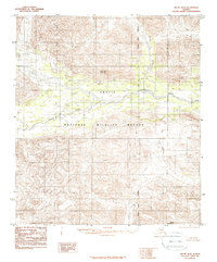
Other maps of this area

1951 · Arctic
USGS Topo · 1:250,000

1956 · Arctic
USGS Topo · 1:250,000

1971 · Arctic C-5
USGS Topo · 1:63,360

1972 · Arctic A-3
USGS Topo · 1:63,360
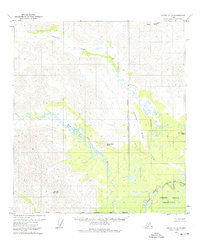
1972 · Arctic A-4
USGS Topo · 1:63,360
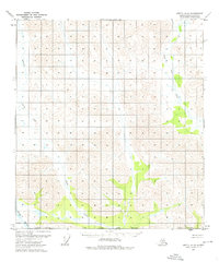
1972 · Arctic A-5
USGS Topo · 1:63,360
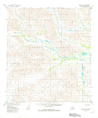
1981 · Arctic B-5
USGS Topo · 1:63,360

1983 · Arctic C-3
USGS Topo · 1:63,360

1983 · Arctic B-3
USGS Topo · 1:63,360
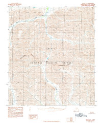
1983 · Arctic C-4
USGS Topo · 1:63,360