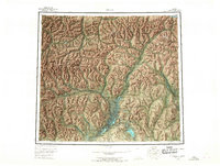
1956 Map of Arctic
USGS Topo · Published 1967About this map
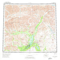
The Brooks Range and the Philip Smith Mountains dominate this 1950s survey of the northern Alaskan interior, where the Continental Divide separates the watershed of the Canning River from the expansive southern river systems. Human presence is concentrated near the southern boundary in the Venetie Indian Reservation, where John Franks Cabins and a Village are recorded along the winding watercourses.
Find a feature on this map
79 named features on this map. Tap any name to fly to it.
Don’t see what you’re looking for? This feature index may not catch every label — zoom into the map to look around manually.
Map Details
Editions of this 1956 Arctic Map
8 editions found

Other maps of this area

1951 · Sagavanirktok D-5
USGS Topo · 1:250,000

1951 · Demarcation Point
USGS Topo · 1:250,000

1951 · Coleen
USGS Topo · 1:250,000

1951 · Chandalar
USGS Topo · 1:250,000

1951 · Christian
USGS Topo · 1:250,000

1951 · Brooks
USGS Topo · 1:250,000

1951 · Arctic
USGS Topo · 1:250,000

1951 · Table Mountain
USGS Topo · 1:250,000

1951 · Mt. Michelson
USGS Topo · 1:250,000

1955 · Demarcation Point
USGS Topo · 1:250,000