
1956 Map of Arctic
USGS Topo · Published 1956About this map
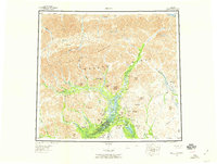
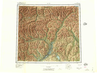
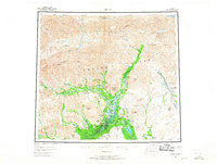
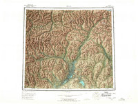
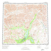
Arctic Village stands as a central point of habitation in this 1950s survey of the northeast Alaska wilderness, situated near the south-central portion of the map. The landscape is defined by the high peaks of the Brooks Range and the Philip Smith Mountains, with the Continental Divide cresting through the northern reaches. This era represents a period before large-scale modernization, where life and movement followed the natural corridors of the Canning River and the Junjik River.
Find a feature on this map
79 named features on this map. Tap any name to fly to it.
Don’t see what you’re looking for? This feature index may not catch every label — zoom into the map to look around manually.
Map Details
Editions of this 1956 Arctic Map
8 editions found
Other maps of this area

1951 · Sagavanirktok D-5
USGS Topo · 1:250,000

1951 · Demarcation Point
USGS Topo · 1:250,000

1951 · Coleen
USGS Topo · 1:250,000

1951 · Chandalar
USGS Topo · 1:250,000

1951 · Christian
USGS Topo · 1:250,000

1951 · Brooks
USGS Topo · 1:250,000

1951 · Arctic
USGS Topo · 1:250,000

1951 · Table Mountain
USGS Topo · 1:250,000

1951 · Mt. Michelson
USGS Topo · 1:250,000

1955 · Demarcation Point
USGS Topo · 1:250,000