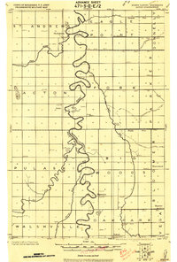
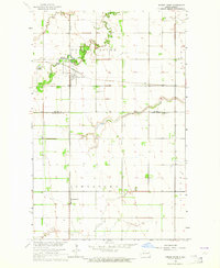
1972 Map of Ardoch
USGS Topo · Published 1975About this map
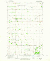
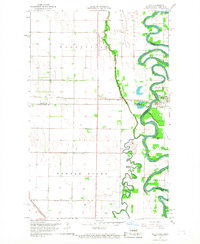
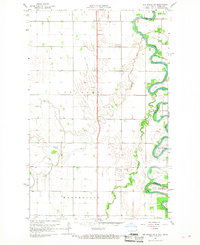
The settlement of Ardoch serves as a central hub in this Red River Valley landscape, situated at the junction of the Burlington Northern and Soo Line railroads. The topography is defined by its agricultural and conservation character, notably featuring the Lake Ardoch basin within the Ardoch National Wildlife Refuge. The map reveals an extensive water management system designed for the flat prairie, marked by several artificial channels such as County Ditch No 13 and County Ditch No 19. To the south, the Prairie Chicken State Game Management Area occupies large tracts of land in Levant township, while the winding course of the Forest River and the Turtle River provide the primary natural drainage across the Walsh and Grand Forks county lines.
Find a feature on this map
15 named features on this map. Tap any name to fly to it.
Don’t see what you’re looking for? This feature index may not catch every label — zoom into the map to look around manually.
Map Details
Editions of this 1972 Ardoch Map
This is the sole edition of this map. No revisions or reprints were ever made.
Other maps of this area
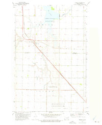
1918 · Acton
USGS Topo · 1:62,500
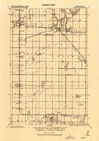
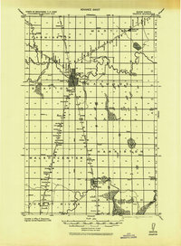
1926 · Ardoch
USGS Topo · 1:62,500
1943 · Grafton
USGS Topo · 1:62,500

1952 · Thief River Falls
USGS Topo · 1:250,000

1956 · Thief River Falls
USGS Topo · 1:250,000

1957 · Thief River Falls
USGS Topo · 1:250,000
1963 · Forest River
USGS Topo · 1:24,000
1963 · Gilby
USGS Topo · 1:24,000
1966 · Oslo
USGS Topo · 1:24,000
1966 · Big Woods SW
USGS Topo · 1:24,000