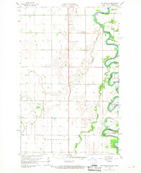
1966 Map of Big Woods SW
USGS Topo · Published 1968About this map
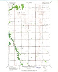
The Red River meanders sharply along the border of North Dakota and Minnesota, carving a complex series of loops and oxbows through the flat valley floor. In the late 1960s, this landscape was defined by the transition from the wooded corridors of Big Woods and Oak Park to the strictly gridded agricultural townships of Pulaski, Acton, and Walshville. The drainage pattern is dominated by the Forest River and the Marais, which cut across the prairie to join the larger river system. While the terrain is primarily rural, technical infrastructure is marked by a Radio Tower and a Substation, indicating the expansion of regional utilities into these farming communities. This survey is particularly valuable for its detail on local fence and field lines, which were mapped using 1966 aerial photography to provide an exact accounting of the era's land use and property boundaries.
Find a feature on this map
11 named features on this map. Tap any name to fly to it.
Don’t see what you’re looking for? This feature index may not catch every label — zoom into the map to look around manually.
Map Details
Editions of this 1966 Big Woods SW Map
2 editions found
Other maps of this area

1918 · Acton
USGS Topo · 1:62,500

1926 · Ardoch
USGS Topo · 1:62,500

1943 · Grafton
USGS Topo · 1:62,500

1952 · Thief River Falls
USGS Topo · 1:250,000

1956 · Thief River Falls
USGS Topo · 1:250,000

1957 · Thief River Falls
USGS Topo · 1:250,000
1960 · Big Woods NW
USGS Topo · 1:24,000
1960 · Oakwood
USGS Topo · 1:24,000
1966 · Big Woods NE
USGS Topo · 1:24,000
1966 · Oslo NE
USGS Topo · 1:24,000