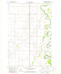
1966 Map of Big Woods SW
USGS Topo · Published 1982About this map
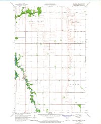
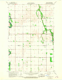
The meandering Red River defines the border between North Dakota and Minnesota in this 1966 survey, revised in 1979. The landscape is dominated by the intricate loops and oxbows of the river valley, where the waterway intersects with the Forest River and the Marais River. These riparian corridors provide the primary geographic relief in an otherwise strictly gridded agricultural landscape organized into the townships of Acton, Pulaski, and Walshville. The map records specific recreational and natural areas such as Big Woods and Oak Park along the river banks.
Find a feature on this map
14 named features on this map. Tap any name to fly to it.
Don’t see what you’re looking for? This feature index may not catch every label — zoom into the map to look around manually.
Map Details
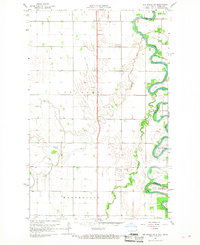
Editions of this 1966 Big Woods SW Map
2 editions found
Other maps of this area

1918 · Acton
USGS Topo · 1:62,500

1926 · Ardoch
USGS Topo · 1:62,500

1943 · Grafton
USGS Topo · 1:62,500

1952 · Thief River Falls
USGS Topo · 1:250,000

1956 · Thief River Falls
USGS Topo · 1:250,000

1957 · Thief River Falls
USGS Topo · 1:250,000
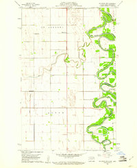
1960 · Big Woods NW
USGS Topo · 1:24,000
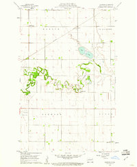
1960 · Oakwood
USGS Topo · 1:24,000
1966 · Big Woods NE
USGS Topo · 1:24,000
1966 · Oslo NE
USGS Topo · 1:24,000