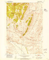
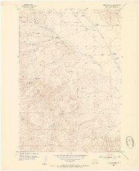
1952 Map of Argenta
USGS Topo · Published 1954About this map
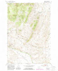
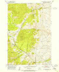
The mining settlement of Argenta serves as the focal point for this mid-century look at the eastern foothills of the Beaverhead National Forest. At the time of this 1952 field check, the district's industrial past and present are recorded through an extensive network of claims and workings, including the Mauldin Mine, the Ferdinand Mine, and the Site of Seligman Smelter. The landscape is a mix of high-altitude mining operations and rangeland, with Quartz Hill and Humbolt Mountain rising above the lower Argenta Flats. Moving east, the terrain transitions into the Frying Pan Basin and the open flats around Bell Ranch. The map also captures the Argenta Cem and high-country landmarks like Meine Cow Camp, providing a detailed look at the local geography before many of these smaller operations and camps faded into the wider wilderness of Dutchman Mountain.
Find a feature on this map
45 named features on this map. Tap any name to fly to it.
Don’t see what you’re looking for? This feature index may not catch every label — zoom into the map to look around manually.
Map Details
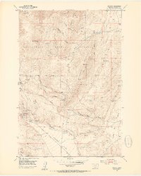
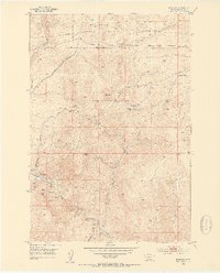
Editions of this 1952 Argenta Map
6 editions found
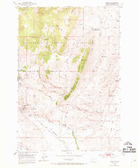
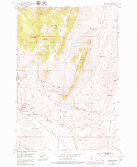
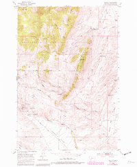
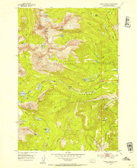
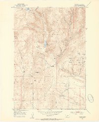
Other maps of this area

1893 · Dillon
USGS Topo · 1:250,000
1952 · Twin Adams Mountain
USGS Topo · 1:24,000
1952 · Argenta
USGS Topo · 1:24,000
1952 · Bannack
USGS Topo · 1:24,000
1952 · Burns Mountain
USGS Topo · 1:24,000
1952 · Torrey Mountain
USGS Topo · 1:24,000
1952 · Ermont
USGS Topo · 1:24,000

1955 · Dillon
USGS Topo · 1:250,000

1957 · Dillon
USGS Topo · 1:250,000

1958 · Dillon
USGS Topo · 1:250,000