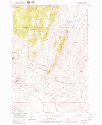
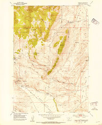
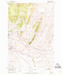
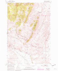
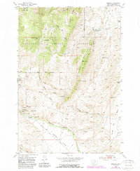
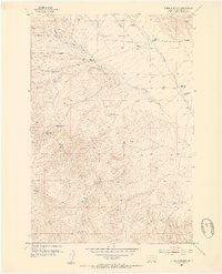
1952 Map of Argenta
USGS Topo · Published 1979About this map
Mining operations and remote ranching dominate this mid-century look at the Pioneer Mountains foothills within the Beaverhead National Forest. The settlement of Argenta serves as the hub for a landscape scarred by hard-rock extraction, featuring industrial landmarks like the Site of Saltgman Smelter and a cluster of named workings including the Anaconda Mine, Tuscarora Mine, and Ferdinand Mine. These sites speak to the area's silver and lead heritage, while the Argenta Cem and various family-named features like the Fabac Ranch and Meine Cow Camp ground the map in local genealogy.
Find a feature on this map
45 named features on this map. Tap any name to fly to it.
Don’t see what you’re looking for? This feature index may not catch every label — zoom into the map to look around manually.
Map Details
Editions of this 1952 Argenta Map
6 editions found
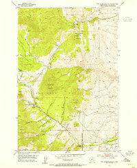
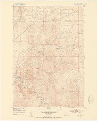
Other maps of this area

1893 · Dillon
USGS Topo · 1:250,000
1952 · Twin Adams Mountain
USGS Topo · 1:24,000
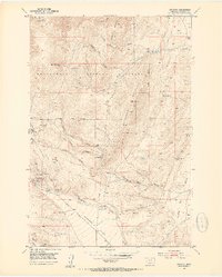
1952 · Argenta
USGS Topo · 1:24,000
1952 · Bannack
USGS Topo · 1:24,000
1952 · Burns Mountain
USGS Topo · 1:24,000
1952 · Torrey Mountain
USGS Topo · 1:24,000
1952 · Ermont
USGS Topo · 1:24,000

1955 · Dillon
USGS Topo · 1:250,000

1957 · Dillon
USGS Topo · 1:250,000

1958 · Dillon
USGS Topo · 1:250,000