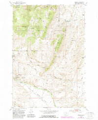
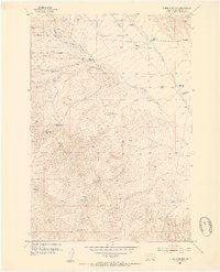
1952 Map of Argenta
USGS Topo · Published 1969About this map
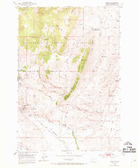
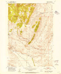
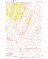
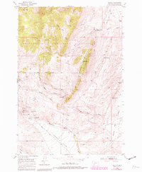
Mining operations and rugged gulches define this 1952 topographic study of the Argenta area. The landscape is marked by a dense concentration of historical workings south of the Beaverhead National Forest boundary, including the Anaconda Mine, Rosemont Mine, and the Ferdinand Mine. The Site of Saltman Smelter points to the industrial processing that once occurred near Rattlesnake Creek, while the nearby Argenta Cem and Argenta Cave provide specific landmarks for genealogical and geological interest. The settlement pattern is sparse, characterized by outlying locations like Fabac Ranch and Bell Ranch situated among a network of drainages such as Frying Pan Gulch and Dexter Gulch. The map captures the transition from the high peaks of Dutchman Mountain and Humbolt Mountain down to the Argenta Flats, recording the legacy of extraction in the Montana mountains.
Find a feature on this map
46 named features on this map. Tap any name to fly to it.
Don’t see what you’re looking for? This feature index may not catch every label — zoom into the map to look around manually.
Map Details
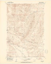
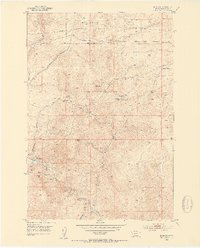
Editions of this 1952 Argenta Map
6 editions found
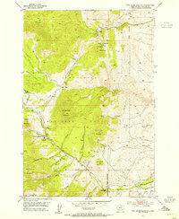
Other maps of this area

1893 · Dillon
USGS Topo · 1:250,000
1952 · Twin Adams Mountain
USGS Topo · 1:24,000
1952 · Argenta
USGS Topo · 1:24,000
1952 · Bannack
USGS Topo · 1:24,000
1952 · Burns Mountain
USGS Topo · 1:24,000
1952 · Torrey Mountain
USGS Topo · 1:24,000
1952 · Ermont
USGS Topo · 1:24,000

1955 · Dillon
USGS Topo · 1:250,000

1957 · Dillon
USGS Topo · 1:250,000

1958 · Dillon
USGS Topo · 1:250,000