
1948 Map of Argo
USGS Topo · Published 1948About this map
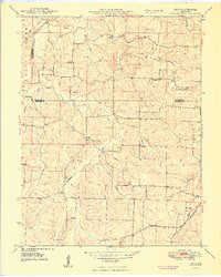
The Little Bourbeuse River winds through this 1948 survey of the Missouri Ozarks, marking a landscape defined by small, family-centric settlements along the borders of Franklin and Crawford Counties. The community of Argo serves as a local hub, supported by the Argo School and nearby rural institutions like Fairview School and Mound School. The map reveals a dense network of family history markers, including the Martin Cemetery, Underwood Cemetery, and Helms Cemetery, illustrating the lineage of those who farmed the upland ridges between the Logan Branch and Brush Creek. To the north, the curiously named settlement of Japan is documented alongside the Old Japan Cemetery. The southeastern corner shows the influence of the St. Louis and San Francisco rail lines, which provided vital connections for this rural area during the mid-century era.
Find a feature on this map
38 named features on this map. Tap any name to fly to it.
Don’t see what you’re looking for? This feature index may not catch every label — zoom into the map to look around manually.
Map Details
Editions of this 1948 Argo Map
4 editions found
Other maps of this area

1903 · Sullivan
USGS Topo · 1:125,000

1935 · Gerald
USGS Topo · 1:48,000

1941 · Gerald
USGS Topo · 1:62,500

1944 · Gerald
USGS Topo · 1:62,500

1946 · Union
USGS Topo · 1:62,500

1947 · Sullivan
USGS Topo · 1:62,500

1948 · Cuba
USGS Topo · 1:24,000

1948 · Leasburg
USGS Topo · 1:24,000

1948 · Union
USGS Topo · 1:62,500

1948 · Oak Hill
USGS Topo · 1:24,000