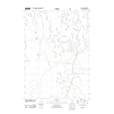
2012 Map of Argyle
USGS Topo · Published 2012About this map
The settlement of Argyle anchors this portion of Custer County, situated along a network of rural routes including Co HWY-333 and W Argyle RD. The landscape is defined by the legacy of ranching and early transportation, with numerous named properties such as the Dean Ranch, Carter Ranch, and Nicolls Ranch scattered across the high plains. These holdings are often positioned near water sources like Pleasant Valley Cr or isolated points like Callan Spring and Dallan Spring.
Find a feature on this map
44 named features on this map. Tap any name to fly to it.
Don’t see what you’re looking for? This feature index may not catch every label — zoom into the map to look around manually.
Map Details
Editions of this 2012 Argyle Map
This is the sole edition of this map. No revisions or reprints were ever made.
Other maps of this area

1896 · Harney Peak
USGS Topo · 1:125,000

1901 · Harney Peak
USGS Topo · 1:125,000

1902 · Edgemont
USGS Topo · 1:125,000

1950 · Edgemont NE
USGS Topo · 1:24,000

1950 · Minnekahta
USGS Topo · 1:24,000

1951 · Minnekahta NE
USGS Topo · 1:24,000

1954 · Fourmile
USGS Topo · 1:24,000

1954 · Jewel Cave SE
USGS Topo · 1:24,000

1955 · Jewel Cave
USGS Topo · 1:24,000
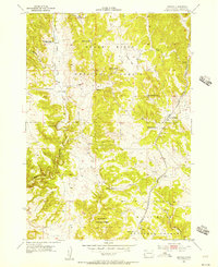
1955 · Argyle
USGS Topo · 1:24,000