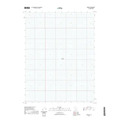
2020 Map of Arinosa SW
USGS Topo · Published 2020About this map
The Great Salt Lake Desert dominates this 2020 topographic survey, revealing a landscape defined by its extreme flatness and sparse geological features. Located in western Utah, the area is characterized by an expansive salt flat environment where traditional land markers are nearly non-existent. The survey illustrates the Public Land Survey System grid across Tooele County, providing a clear view of the section lines and township boundaries that organize this largely uninhabited terrain. While human infrastructure is absent on this specific sheet, the map serves as a precise record of the desert floor's elevation and the subtle contour changes that occur within this prehistoric lake bed. Geologists and land researchers can use this data to understand the modern drainage patterns and salt crust distribution in one of North America's most unique environmental zones.
Find a feature on this map
1 named feature on this map. Tap any name to fly to it.
Don’t see what you’re looking for? This feature index may not catch every label — zoom into the map to look around manually.
Map Details
Editions of this 2020 Arinosa SW Map
This is the sole edition of this map. No revisions or reprints were ever made.
Other maps of this area

1953 · Tooele
USGS Topo · 1:250,000

1955 · Tooele
USGS Topo · 1:250,000
1972 · Elephant Knoll NE
USGS Topo · 1:24,000

1973 · Arinosa
USGS Topo · 1:24,000

1973 · Arinosa SE
USGS Topo · 1:24,000

1973 · Arinosa SW
USGS Topo · 1:24,000

1973 · Arinosa NE
USGS Topo · 1:24,000

1973 · Salduro SE
USGS Topo · 1:24,000

1973 · Gold Hill 1 NE
USGS Topo · 1:24,000
1973 · Salduro
USGS Topo · 1:24,000