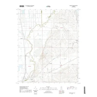
2018 Map of Arkabutla West
USGS Topo · Published 2018About this map
Evansville and the surrounding bottomlands of the Coldwater River define this North Mississippi landscape, where the flat alluvial plains of the Delta meet the rising bluff line. The western half of the map is dominated by an intricate drainage network including Lake Cormorant Bayou, Buck Island Bayou, and Ditch Number Eight, protected by the prominent Coldwater River Levee. These waterways reflect the engineering required to manage the fertile but flood-prone territory west of the river.
Find a feature on this map
68 named features on this map. Tap any name to fly to it.
Don’t see what you’re looking for? This feature index may not catch every label — zoom into the map to look around manually.
Map Details
Editions of this 2018 Arkabutla West Map
This is the sole edition of this map. No revisions or reprints were ever made.
Other maps of this area

1908 · Hollywood
USGS Topo · 1:24,000

1908 · Walnut Lake
USGS Topo · 1:24,000

1910 · Walnut Lake
USGS Topo · 1:31,680

1913 · Hollywood
USGS Topo · 1:31,680

1931 · Horseshoe Lake
USGS Topo · 1:62,500

1932 · Horn Lake
USGS Topo · 1:48,000

1932 · Crenshaw
USGS Topo · 1:62,500

1935 · Crenshaw
USGS Topo · 1:62,500

1935 · Horn Lake
USGS Topo · 1:62,500

1939 · Clayton
USGS Topo · 1:62,500