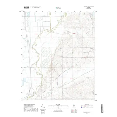
2020 Map of Arkabutla West
USGS Topo · Published 2020About this map
The Coldwater River and its accompanying Coldwater River Levee define the western geography of this region, where the flatlands of the Delta meet the rising bluffs of the loess hills. In this transition zone, small agricultural communities like Savage, Evansville, and Cottonville are linked by a network of rural roads that navigate the complex hydrology of the Yazoo Basin. The landscape is heavily marked by water management, featuring several named bayous such as Buck Island Bayou and Lost Lake Bayou, alongside the significant expanse of Arkabutla Lake in the northeast.
Find a feature on this map
68 named features on this map. Tap any name to fly to it.
Don’t see what you’re looking for? This feature index may not catch every label — zoom into the map to look around manually.
Map Details
Editions of this 2020 Arkabutla West Map
This is the sole edition of this map. No revisions or reprints were ever made.
Other maps of this area

1908 · Hollywood
USGS Topo · 1:24,000

1908 · Walnut Lake
USGS Topo · 1:24,000

1910 · Walnut Lake
USGS Topo · 1:31,680

1913 · Hollywood
USGS Topo · 1:31,680

1931 · Horseshoe Lake
USGS Topo · 1:62,500

1932 · Horn Lake
USGS Topo · 1:48,000

1932 · Crenshaw
USGS Topo · 1:62,500

1935 · Crenshaw
USGS Topo · 1:62,500

1935 · Horn Lake
USGS Topo · 1:62,500

1939 · Clayton
USGS Topo · 1:62,500