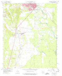
1959 Map of Arkadelphia
USGS Topo · Published 1975About this map
The town of Arkadelphia serves as the focal point of this late 1950s survey, situated along the western bank of the Ouachita River. This riverine landscape is defined by the winding course of the Ouachita River and its accompanying wetlands, including Nowlin Pond and Deceiver Lake. The influence of higher education and civic life is evident in the inclusion of Ouachita College, the county court house, and a prominent Hospital in the city center.
Find a feature on this map
40 named features on this map. Tap any name to fly to it.
Don’t see what you’re looking for? This feature index may not catch every label — zoom into the map to look around manually.
Map Details
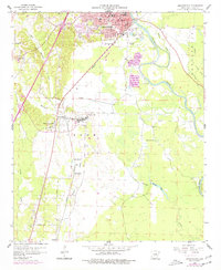
Editions of this 1959 Arkadelphia Map
3 editions found
Other maps of this area

1901 · Gurdon
USGS Topo · 1:125,000

1903 · Camden
USGS Topo · 1:125,000

1953 · El Dorado
USGS Topo · 1:250,000

1955 · Little Rock
USGS Topo · 1:250,000

1956 · Little Rock
USGS Topo · 1:250,000

1957 · El Dorado
USGS Topo · 1:250,000

1958 · El Dorado
USGS Topo · 1:250,000

1959 · Caddo Valley
USGS Topo · 1:24,000

1959 · Arkadelphia
USGS Topo · 1:24,000

1960 · El Dorado
USGS Topo · 1:250,000