Loading...
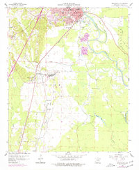
Loading map...1959 Map of Arkadelphia
USGS Topo · Published 1977About this map
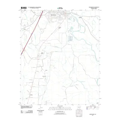
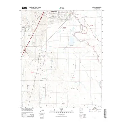
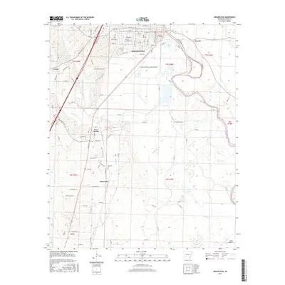
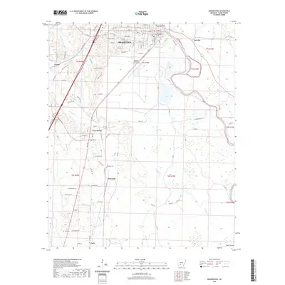
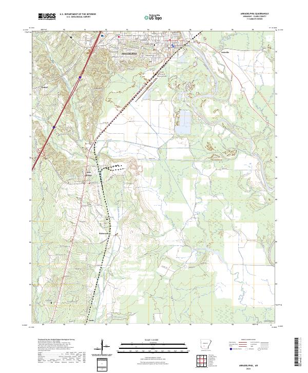
Arkadelphia serves as the focal point of this Clark County survey, showing the town's expansion toward the Ouachita River and the campus of Ouachita Baptist University. The landscape is defined by the Missouri Pacific railroad corridor, which links the city to outlying communities like Gum Springs and Richwoods. Rural life in the mid-20th century is well-documented through several family and community landmarks, including Rose Hill Cem, Richwoods Cem, and Mt Zion Ch.
Find a feature on this map
39 named features on this map. Tap any name to fly to it.
Don’t see what you’re looking for? This feature index may not catch every label — zoom into the map to look around manually.
Map Details
Date Portrayed1959
Date Published1977
PublisherU.S. Geological Survey
Map TypeTopographic
Scale1:24,000
Physical Dimensions22 x 26.9 inches
Editions of this 1959 Arkadelphia Map
3 editions found
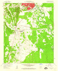
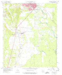
Historical Maps of Arkadelphia Through Time
7 maps found
Featured Locations
Source Details
SourceU.S. Geological Survey
CopyrightPublic Domain