
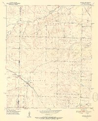
1951 Map of Arkinda
USGS Topo · Published 1952About this map
The Oklahoma Arkansas state line bisects this 1950s landscape, where the rural commerce of Arkinda serves as a central hub. The settlement pattern is defined by a dense network of country schools and family-centered landmarks, including Pine Grove Sch and Saints Rest Ch. Two major rail corridors, the Kansas City Southern and the St Louis San Francisco, cut through the terrain, illustrating the importance of cross-border transit in this era.
Find a feature on this map
39 named features on this map. Tap any name to fly to it.
Don’t see what you’re looking for? This feature index may not catch every label — zoom into the map to look around manually.
Map Details
Editions of this 1951 Arkinda Map
4 editions found
Other maps of this area

1950 · Tom
USGS Topo · 1:24,000

1950 · Winthrop
USGS Topo · 1:24,000

1950 · Goodwater
USGS Topo · 1:24,000

1950 · Bokhoma
USGS Topo · 1:24,000

1951 · Winthrop
USGS Topo · 1:24,000

1951 · Tom
USGS Topo · 1:24,000

1951 · Bokhoma
USGS Topo · 1:24,000

1951 · Goodwater
USGS Topo · 1:24,000

1951 · Arden
USGS Topo · 1:24,000

1951 · Cerrogordo
USGS Topo · 1:24,000