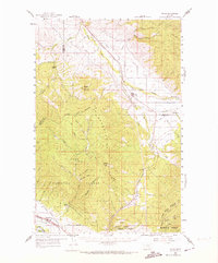
1959 Map of Arlee
USGS Topo · Published 1974About this map
The Jocko River and Finley Creek define the central valley of this 1959 survey, where the valley floor transitions into the high peaks of the Lolo National Forest and Flathead National Forest. This region is shaped by the presence of the Flathead Indian Reservation, with the Mission Ch and an Agency Creek located near the town of Arlee. The landscape is a corridor of transit and ranching, evidenced by the Northern Pacific and C M St P & P railroads running alongside the Nielson Ranch and Baldwin Ranch.
Find a feature on this map
51 named features on this map. Tap any name to fly to it.
Don’t see what you’re looking for? This feature index may not catch every label — zoom into the map to look around manually.
Map Details
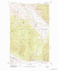
Editions of this 1959 Arlee Map
3 editions found

Other maps of this area

1903 · Bonner
USGS Topo · 1:125,000

1912 · Missoula
USGS Topo · 1:125,000

1921 · Elbow Lake
USGS Topo · 1:125,000

1947 · Butte
USGS Topo · 1:250,000

1955 · Choteau
USGS Topo · 1:250,000

1956 · Wallace
USGS Topo · 1:250,000

1956 · Hamilton
USGS Topo · 1:250,000

1957 · Choteau
USGS Topo · 1:250,000

1958 · Butte
USGS Topo · 1:250,000

1958 · Choteau
USGS Topo · 1:250,000