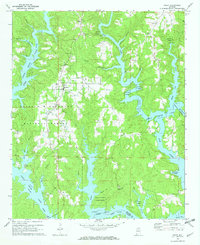
1969 Map of Arley
USGS Topo · Published 1973About this map
Lewis Smith Lake dominates this 1969 survey, its winding fingers reaching deep into the forested hills of the William B Bankhead National Forest. The town of Arley serves as a central hub for the surrounding rural communities, characterized by a concentration of local institutions including Meek High Sch, Meek Ch, and the Meek Lookout Tower. This landscape illustrates the mid-century intersection of recreation and traditional rural life, where Boat Ramps share space with long-established family sites like Robertson Chapel Cem and Mt Hope Cem. The irregular shoreline of the Sipsey Fork and the Rock Creek arm of the lake created new peninsulas like Wilson Bend, reshaping the way residents interacted with the local geography. Numerous country churches, such as Old Bethel Ch and Piney Ridge Ch, remain as anchors for the dispersed population throughout the quadrangle.
Find a feature on this map
35 named features on this map. Tap any name to fly to it.
Don’t see what you’re looking for? This feature index may not catch every label — zoom into the map to look around manually.
Map Details
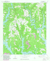
Editions of this 1969 Arley Map
2 editions found
Other maps of this area

1893 · Jasper
USGS Topo · 1:125,000

1949 · Cold Springs
USGS Topo · 1:24,000

1949 · Manchester
USGS Topo · 1:24,000

1949 · Sunlight
USGS Topo · 1:24,000

1950 · Manchester
USGS Topo · 1:24,000

1951 · Cold Springs
USGS Topo · 1:24,000
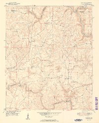
1951 · Sunlight
USGS Topo · 1:24,000

1953 · Birmingham
USGS Topo · 1:250,000

1956 · Birmingham
USGS Topo · 1:250,000

1956 · Gadsden
USGS Topo · 1:250,000