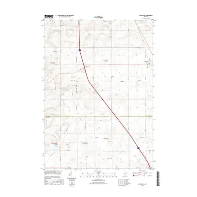
2016 Map of Arlington
USGS Topo · Published 2016About this map
Arlington serves as the primary hub for this agricultural region of south-central Wisconsin, situated just north of the Columbia Co Dane Co line. The landscape is characterized by a high concentration of established burial sites, including the Arlington Prairie Cem, Evangelical Cem, and the uniquely named Onehundred Mile Grove Cem near the southern boundary. This cluster of cemeteries, alongside the small settlement of Irene, suggests a long-standing rural community network tied to the fertile farmsteads of the area.
Find a feature on this map
52 named features on this map. Tap any name to fly to it.
Don’t see what you’re looking for? This feature index may not catch every label — zoom into the map to look around manually.
Map Details
Editions of this 2016 Arlington Map
This is the sole edition of this map. No revisions or reprints were ever made.
Other maps of this area

1890 · Madison
USGS Topo · 1:62,500

1892 · Madison
USGS Topo · 1:62,500

1895 · Baraboo
USGS Topo · 1:62,500

1901 · Poynette
USGS Topo · 1:62,500

1904 · Madison
USGS Topo · 1:62,500

1906 · Madison
USGS Topo · 1:62,500

1907 · Cross Plains
USGS Topo · 1:62,500

1908 · Baraboo
USGS Topo · 1:62,500

1909 · Cross Plains
USGS Topo · 1:62,500

1957 · Madison
USGS Topo · 1:250,000