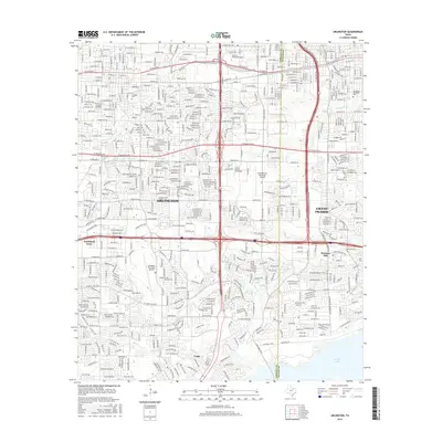
2016 Map of Arlington
USGS Topo · Published 2016About this map
The sprawling suburban landscape of Arlington and Grand Prairie is defined by an intricate network of major thoroughfares and educational institutions during the mid-2010s. The map highlights the extensive footprint of The Univ of Texas at Arlington in the northwest, while the southern reaches transition into more specialized residential and aviation zones. Two major air facilities, the Grand Prairie Municipal Airport and Arlington Municipal Airport, anchor the central and western portions of the quadrangle, respectively.
Find a feature on this map
40 named features on this map. Tap any name to fly to it.
Don’t see what you’re looking for? This feature index may not catch every label — zoom into the map to look around manually.
Map Details
Editions of this 2016 Arlington Map
This is the sole edition of this map. No revisions or reprints were ever made.
Other maps of this area

1891 · Dallas
USGS Topo · 1:125,000

1893 · Dallas
USGS Topo · 1:125,000

1894 · Fort Worth
USGS Topo · 1:125,000
1931 · Carrollton
USGS Topo · 1:62,500
1931 · Grapevine
USGS Topo · 1:62,500

1954 · Dallas
USGS Topo · 1:250,000

1958 · Dallas
USGS Topo · 1:250,000
1959 · Kennedale
USGS Topo · 1:24,000
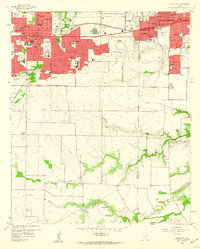
1959 · Arlington
USGS Topo · 1:24,000
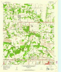
1959 · Euless
USGS Topo · 1:24,000
Featured Places
- Arlington, TX
- Grand Prairie, TX
- Heather Glen, Grand Prairie
- Somerton Village, Grand Prairie
- Enchanted Creek, Arlington